What is recorded here
In rough mountain grazing, on a N-facing slope with views across a valley planted with coniferous trees. According to local information supplied in the early 1990s, a circular area (diam. c. 8m) is defined by a stone wall, with an opening S-SW. Despite an extensive search in the general area no trace of this possible enclosure was found in 2005.
The above description is derived from 'The Archaeological Inventory of County Cork. Volume 5' (Dublin: Stationery Office, 2009).
Date of upload: 22 December 2009
The monument record does not grant public access. Check the route and ask the landowner before entering private land.
- What survives
- Recorded monument
Places near here
 Hut site in GoulacullinHut site · 1526 yd
 Mass-rock in Farnanes (carbery E. (w.d) By.)Mass-rock · 1691 yd
 Nowen HillMountain / peak · 1.2 mi
 Quarry in GlanycarneyQuarry · 1.6 mi
 Nowen Hill SW TopMountain / peak · 1.9 mi
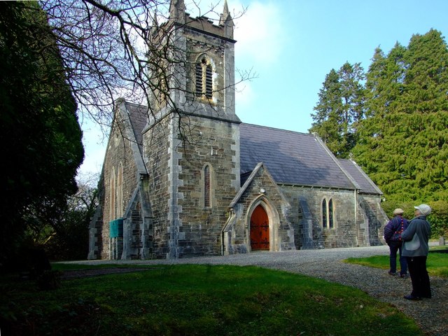 St. Edmund's Church of Ireland Churchchurch/chapel · 2.4 mi
 St Finbarr's Pilgrim RouteWalking route · 3.5 mi
 Castle Donovan (in Ruins)Castle, tower house · 3.7 mi
 Togher CastleCastle, tower house · 3.7 mi
 Delish Cascade WalkWalking route · 4.2 mi
 Gortnahoughtee Mass RockNamed rock · 5.6 mi
 Graveyard in ToughmacdermodyGraveyard · 6.8 mi