What is recorded here
Enclosure in Gortnadihy (carbery E. (w.d) By.) is a famine burial ground in County Cork, Ireland. Its stone wall and earthen bank still mark an irregular pasture area beside a knoll, preserving the shape of loss long after the people who made it disappeared. The ground remains quiet, but it is not empty; it holds the memory of hunger and the labour of burying the dead.
In pasture, on E side of knoll. Irregular area (44m E-W; max. 36m N-S) enclosed by stone-faced earthen bank (H 0.7m) to W and N and by stone wall (H 1.1m) to E. Bank levelled to S, except for section (L 8m) at SE corner. Interior slopes gradually down to E. L-shaped area, at E end, mainly enclosed by scarp (H 0.3m). Known locally as famine burial ground (CO121-096---). (CMSS)
The above description is derived from the published 'Archaeological Inventory of County Cork. Volume 1: West Cork' (Dublin: Stationery Office, 1992). In certain instances the entries have been revised and updated in the light of recent research.
Date of upload/revision: 14 January 2009
The monument record does not grant public access. Check the route and ask the landowner before entering private land.
- What survives
- Recorded monument
Places near here
 Burial ground in Gortnadihy (carbery E. (w.d) By.)Burial ground · 1 yd
 TobernadihyHoly well · 128 yd
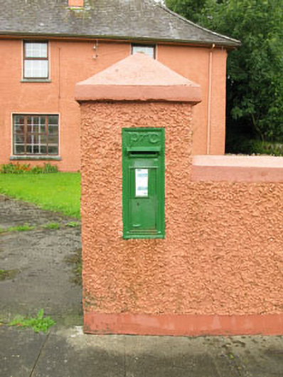 post boxpost box · 1043 yd
 Ballinvard CastleCastle · 1535 yd
 St Mary's Roman Catholic Churchchurch/chapel · 1.1 mi
 Fahanacowley Castle (Site of)Castle, unclassified · 1.7 mi
 Corran HillMountain / peak · 3.2 mi
 Jeremiah O'Donovan RossaMemorial · 3.6 mi
 Irish National Forestry FoundationNature reserve · 4.0 mi
 Cross commemorating Holy Day.Memorial · 4.1 mi
 Michael Collins BirthplaceHistoric birthplace · 4.1 mi
 CarrigfaddaMountain / peak · 4.2 mi