What is recorded here
Subrectangular shaped enclosure (c. 38m N-S, 47m E-W) defined by a slight scarp and a very slight external fosse. D-shaped annexe (c. 21m E-W)at E side consisting of raised area defined by a scarp.
The above description is derived from the published 'Archaeological Inventory of County Offaly' (Dublin: Stationery Office, 1997). In certain instances the entries have been revised and updated in the light of recent research.
Date of upload: 23 May 2011
The monument record does not grant public access. Check the route and ask the landowner before entering private land.
- What survives
- Recorded monument
Places near here
 StructureStructure, peatland · 500 yd
 RoadRoad, class 2 togher · 746 yd
 IndicatedEnclosure · 1225 yd
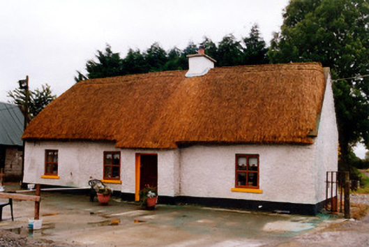 farm housefarm house · 2.0 mi
 Bawn in BallykeanBawn · 2.4 mi
 Mountlucas Wind Farm Visitors CentreVisitor information · 2.5 mi
 Geashill Castle (ruins)Castle · 2.5 mi
 The Lord's WellSpring · 2.6 mi
 Father BurbageMemorial · 2.6 mi
 Geashill Glebe WalkVisitor information · 2.7 mi
 Furzehill WoodWood · 3.3 mi
 Allen family memorial headstoneMemorial · 4.1 mi