
What is recorded here
In pasture, straddling a break of slope at the top of the S-facing slope of an E-W ridge. It is not shown on the 1838 edition of the OS 6-inch map but is indicated on the 1942-3 edition by a shallow arc of hachures E-SSW, in the NW corner of a field. A roughly square area (33.7m N-S; c. 30m E-W) bordered on the S side by a high S-facing scarp (H c. 2m) cut into the ridge slope, and on W and N sides by straight field boundaries. On the E side there are no evident remains of an enclosing element. The scarp is mostly straight but curves slightly at the SE corner where it has been partially dug away. The scarp and field boundaries are engulfed in brambles and thorn bushes. The interior slopes gently down to S following the ridge slope. There is a possibility that this may be the remains of an enclosure but the surviving remains and the map evidence are not sufficient to warrant classifying it as such.
Compiled by: Archaeological Survey Unit, UCC with revisions by Patrick F. O'Donovan and Paul Walsh
Date of upload: 20 June 2011
The monument record does not grant public access. Check the route and ask the landowner before entering private land.
- What survives
- Recorded monument
Places near here
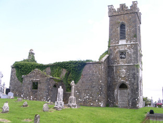 Gorteen Church (Kilfree)church/chapel · 143 yd
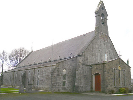 Saint Patrick's Catholic Churchchurch/chapel · 767 yd
 Enclosure in RathmadderEnclosure · 923 yd
 Indicated (1838).Fairy fort / earthen ringfort · 976 yd
 Moygara Castle (in Ruins)Bawn · 1.9 mi
 Moygara CastleCastle · 1.9 mi
 Crow IslandIslet · 3.4 mi
 Inch IslandIslet · 4.1 mi
 Castle PointHeadland · 4.1 mi
 Rose PointHeadland · 4.7 mi
 Caves of KeshCave · 5.3 mi
 Bockagh HillMountain / peak · 5.4 mi
Other information
Photo: Credit not shown in the picture search · Rights wording not checked; contact us if this picture should be removed