What is recorded here
In grassland on flat poorly drained pastureland which has been reclaimed with ringfort (TS055-007----) 240m to N, moated site possible (TS055-028----) 250m to NW and ringfort (TS055-008----) 300m to NE. Enclosure consists of a circular area (diam. 23m N-S; 29m E-W) enclosed by and earth and stone bank (top Wth 1.7m; base Wth 3.5m; int. H 0.4-0.2m; ext. H 1m) and wet waterlogged outer fosse (base Wth 1.5m; top Wth 4m; ext. D 0.5m) visible only from S through W to NW only elsewhere it has been levelled. Depicted as in irregular-shaped enclosure on 1843 ed. OS 6-inch map and not marked on 1906 ed. OS 6-inch map. Probably partially levelled between 1840 and 1903. Enclosing bank and fosse survive as a field boundary in the SW corner of a large field.
Compiled by: Jean Farrelly
Date of upload: 26 August 2011
The monument record does not grant public access. Check the route and ask the landowner before entering private land.
- What survives
- Recorded monument
Places near here
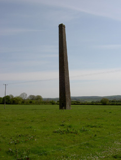 Copper Steeplechimney · 999 yd
 IndicatedSettlement cluster · 1008 yd
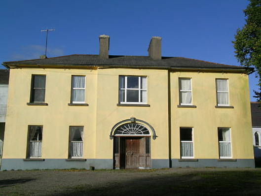 Ballingarry Presentation Conventcountry house · 1170 yd
 Ballingarry Castle (ruins)Archaeological place · 1503 yd
 Site of CastleCastle, unclassified · 1576 yd
 Site of ChurchChurch · 1578 yd
 Waterloo HillMountain / peak · 3.0 mi
 Warhouse HillMountain / peak · 3.4 mi
 Top Field at Carey'sForest · 3.5 mi
 Second Field on the HillForest · 3.6 mi
 Slieveardagh Heritage CentreVisitor information · 4.0 mi
 Derrynaflan TrailHeritage attraction · 5.4 mi