What is recorded here
In pasture, on upper edge of 300ft contour. Enclosure identified on aerial photograph (GSI 16.4.1974, R. 516/515; GSI May 1977, R. 531/0). Circular enclosure (dims. c. 22m N-S; c. 20m E-W) defined by low earthen bank reduced to scarp (int. H 0.1m; ext. H 0.6m; Wth. c. 5.15m), intervening fosse (Wth. c. 1.2m) and outer bank (int. H 0.95m; ext. H 0.65m; Wth c. 8m) SSW-W-N-NE. The eastern side is defined NE-SE by the curving external scarp of a conjoined enclosure (TS067-115----). Raised area toward S of interior - possible hut site for a former hut site. Raised irregular shaped area/mound to S. Likely entrance (Wth. c. 3.5-4m) at S. Enclosures (TS067-0050001- and TS067-005002-) located c. 300m to ESE; possible enclosure (TS067-082----) located c. 400m to NW.
Compiled by: Jean Farrelly
Date of upload: 26 August 2011
The monument record does not grant public access. Check the route and ask the landowner before entering private land.
- What survives
- Recorded monument
Places near here
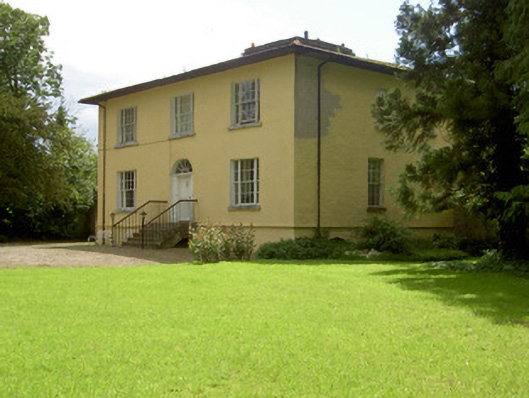 Brookville Househouse · 793 yd
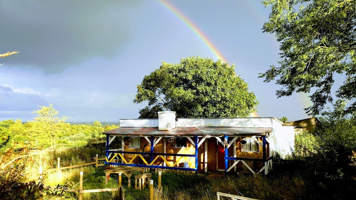 Enclosure in Ballyglass Lower (clonpet Par.),ballyglass Lower (cordangan Par.)Enclosure · 993 yd
 Enclosure in Moanreagh (clonpet Par.)Enclosure · 1125 yd
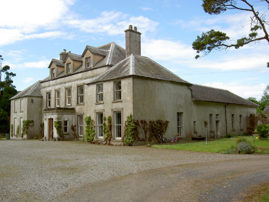 Cordangan Manorcountry house · 1264 yd
 Cordangan Castle ruinsCastle · 1295 yd
 Breansha Castle ruinsCastle · 1669 yd
 The RockViewpoint · 1.1 mi
 The Maid of ErinMemorial · 1.4 mi
 It's a long way to TippereryHeritage attraction · 1.4 mi
 I.R.A. 3rd. Tipperary Brigade MemorialMemorial · 1.7 mi
 Christ the KingViewpoint · 1.7 mi
 Glen of AherlowViewpoint · 1.8 mi