What is recorded here
Located just off the crest of the E-facing slope of Gorey Hill. The cropmark of a circular enclosure (diam. c. 39mk E-W; c. 35m N-S) defined by a single fosse SW-N-SE is visible only on Apple Maps (2018) but the perimeter is incorporated into a field bank SE-SW where there is a slight kink in a NE-SW field bank. Enclosure (WX006-099----) is c. 110m to the NE, and it was first reported by Jean Charles Caillere.
See the attached enhanced view from Apple Maps
Compiled by: Michael Moore
Date of upload: 4 June 2020
The monument record does not grant public access. Check the route and ask the landowner before entering private land.
- What survives
- Recorded monument
Places near here
 Gorey HillMountain / peak · 159 yd
 Kiln in Ramstown LowerKiln · 573 yd
 ToberchreestHoly well · 607 yd
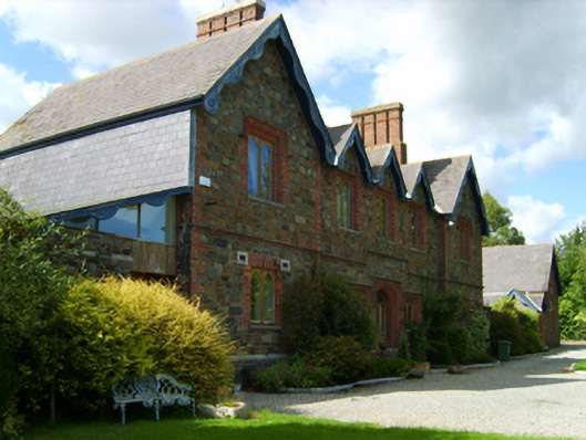 Gorey Union Workhouseworkhouse · 648 yd
 1798 MonumentMemorial · 768 yd
 Fulacht fia in Ramstown LowerFulacht fia · 877 yd
 Market HouseHeritage attraction · 1426 yd
 Carriganeagh RockMountain / peak · 1.7 mi
 Ballingarry WoodForest · 2.4 mi
 Barnadown WoodWood · 3.0 mi
 Saint Brigid's WellSpring · 5.7 mi
 Blue SchoolMemorial · 6.7 mi