
What is recorded here
Glebe Enclosure is a ruined ring twenty-six metres wide on a natural rise in County Offaly, still offering broad views across flat country. It appeared as a cavity on the 1840 Ordinance Survey map, but human hands or time have since erased most of its shape. The land may have marked a home, shrine or boundary before forgetting the purpose of its own stones.
Situated on a natural rise in flat countryside with good extensive views. Barely discernible outline of a destroyed enclosure (diam 26m E-W). Depicted on 1840 edition of OS 6-inch map as a 'cavity'.
The above description is derived from the published 'Archaeological Inventory of County Offaly' (Dublin: Stationery Office, 1997). In certain instances the entries have been revised and updated in the light of recent research.
Date of upload: 23 May 2011
The monument record does not grant public access. Check the route and ask the landowner before entering private land.
- What survives
- Recorded monument
Places near here
 Enclosure in Glebe (garrycastle By., Clonmacnoise Ed)Enclosure · 423 yd
 IndicatedFairy fort / earthen ringfort · 502 yd
 Bawn in Lackagh MoreBawn · 851 yd
 Esker CastleCastle, tower house · 1117 yd
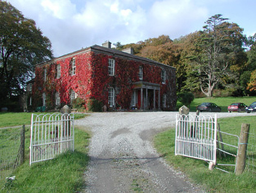 The Dooncountry house · 1221 yd
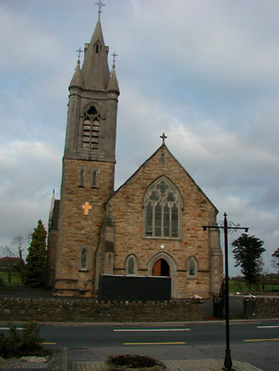 Saint Colmcille's Catholic Churchchurch/chapel · 1.8 mi
 Endrim HillMountain / peak · 2.1 mi
 European ashEuropean ash · 2.3 mi
 Ballylin Bog BoardwalkHeritage attraction · 3.3 mi
 Saint Reaghan's WellSpring · 3.9 mi
 Long IslandIsland · 5.0 mi
 Cocta HillMountain / peak · 6.0 mi
Other information
Photo: Credit not shown in the picture search · Rights wording not checked; contact us if this picture should be removed