What is recorded here
In undulating farmland. Marked on 1st ed. of OS 6-inch map as a D-shaped enclosure (D c. 40m), the interior of which was then, as now, occupied by St Annan's R.C. Church (built 1810). No visible surface trace survives.
The above description is derived from the published 'Archaeological Inventory of County Galway Vol. I - West Galway'. Compiled by Paul Gosling (Dublin: Stationery Office, 1993).
Date of upload: 05 August 2010
The monument record does not grant public access. Check the route and ask the landowner before entering private land.
- What survives
- Recorded monument
Places near here
 R. C. ChapelChurch · 15 yd
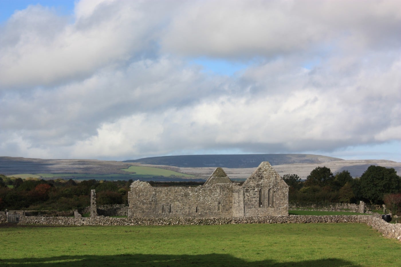 TemplebeganeeveChurch · 320 yd
 Brigit's GardenHeritage attraction · 779 yd
 Annagh WoodWood · 886 yd
 IndicatedFairy fort / stone ringfort · 896 yd
 Enclosure in Kylemore (moycullen By.)Enclosure · 1264 yd
 Oghery Castle in ruinsCastle, unclassified · 1.1 mi
 Potatoe IslandsIslet · 2.2 mi
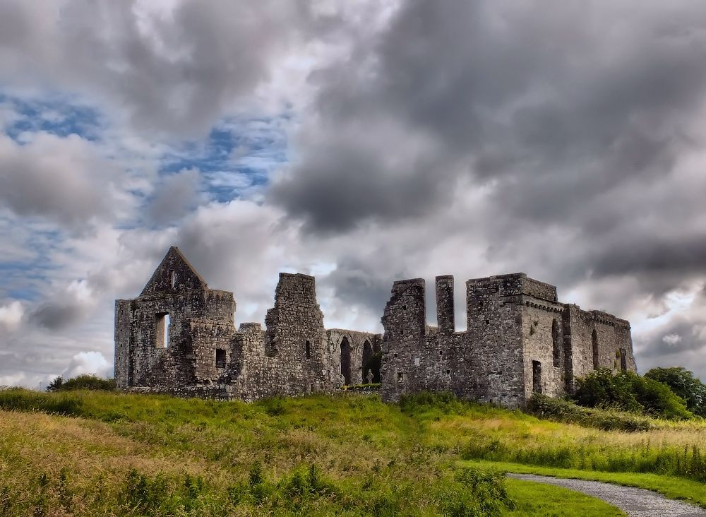 Cnoc an Bhaile NuaMountain / peak · 2.7 mi
 Illaunfadda MoreIslet · 2.7 mi
 Aughnanure Castle (in ruins)Castle, tower house · 3.0 mi
 Connemara MarbleHeritage attraction · 3.6 mi