What is recorded here
In pasture. A circular enclosure (overall diam. c. 45m), defined by a fosse which is visible as a cropmark on satellite imagery (Digitalglobe, imagery date 2011-13), identified and reported by Anne-Karoline Distel. Approximately 75m to the SE the townland boundary kinks out in a curve, which suggests it may be following the line of a pre-existing feature, perhaps a large circular enclosure (diam. c. 120m) of which this is the south-eastern arc. A road runs NE-SW c. 35m SE of the cropmark enclosure. There is a ringfort (TS053-068----) c. 180m to the SSW another (TS053-059----) c. 530m to the ESE.
See attached:
TS053-102----_01 Digitalglobe satellite imagery, imagery date 2011-13
Compiled by: Jean Farrelly
Date of upload: 27 April 2022
The monument record does not grant public access. Check the route and ask the landowner before entering private land.
- What survives
- Recorded monument
Places near here
 Gortmakellis CastleCastle · 647 yd
 Burnt spread in GortmakellisBurnt spread · 759 yd
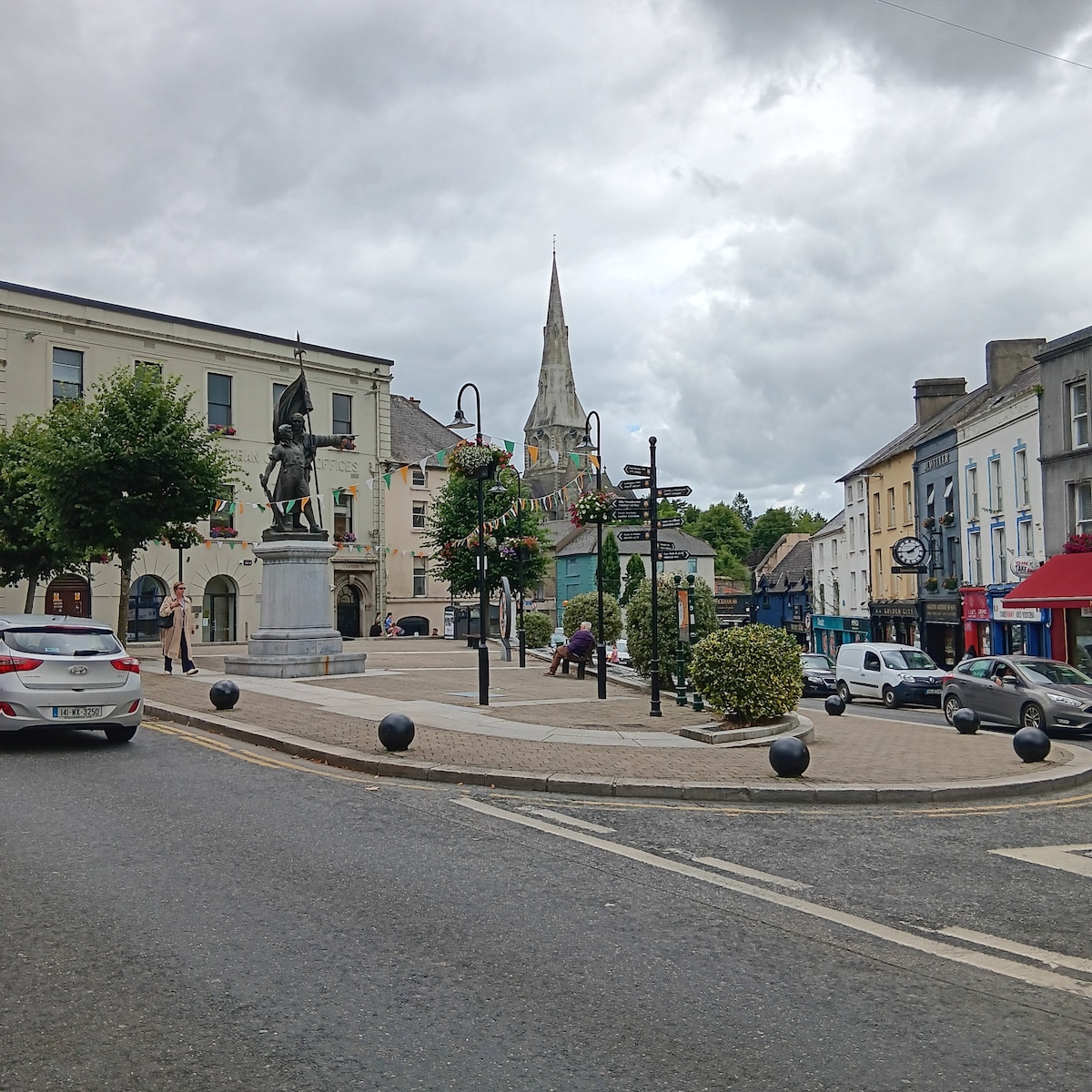 Enclosure in MarshalstownEnclosure · 1000 yd
 Ballykelly Church (in Ruins)Church · 1525 yd
 Church (In Ruins)Church · 1724 yd
 Ballyknock HillMountain / peak · 1.1 mi
 Castle in RuinsHouse, fortified house · 1.4 mi
 Rock of CashelHeritage attraction · 2.4 mi
 Cormac's ChapelHeritage attraction · 2.4 mi
 The Rock Of CashelVisitor information · 2.4 mi
 Black mulberryBlack mulberry · 2.5 mi
 Clonoulty HillMountain / peak · 6.3 mi