What is recorded here
Circular feature cut by road to NW indicated on the 1838 OS 6-inch map (map dims. diam. c. 23m). When inspected by the ASI in 1990 it appeared to be under the car park of Woodenbridge Golf Club.
Compiled by: Claire Breen
Date of upload: 19 September 2013
The monument record does not grant public access. Check the route and ask the landowner before entering private land.
- What survives
- Recorded monument
Places near here
 Woodenbridge World War One MemorialMemorial · 258 yd
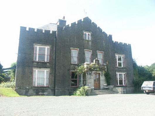 Ballyarthur Househunting/fishing lodge · 617 yd
 Sweet ChestnutSweet Chestnut · 673 yd
 Scots PineScots Pine · 681 yd
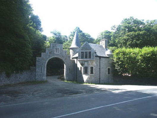 Glenart Castlegate lodge · 696 yd
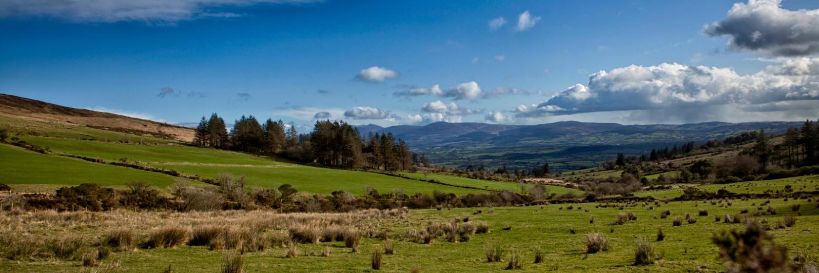 Enclosure in BallinamonaEnclosure · 961 yd
 Ecclesiastical enclosure in Kilcarra WestEcclesiastical enclosure · 1536 yd
 Site of CastleCastle, unclassified · 1.3 mi
 Meeting of the WatersHeritage attraction · 3.6 mi
 Battle of Arklowbattle · 3.9 mi
 Castle (in ruin)Castle, Anglo-Norman masonry castle · 3.9 mi
 White Heaps 1798Memorial · 4.4 mi