What is recorded here
Site identified on aerial photograph taken on 11/8/1996 by Michael Moore (ASIAP 43(18-20)). No surface remains visible, situated on flat reclaimed grassland with good views in all directions.
Compiled by: Jean Farrelly and Caimin O'Brien
Date of upload/revision: 22 September 2008
The monument record does not grant public access. Check the route and ask the landowner before entering private land.
- What survives
- Recorded monument
Places near here
 IndicatedFairy fort / earthen ringfort · 499 yd
 Killough Castlecountry house · 880 yd
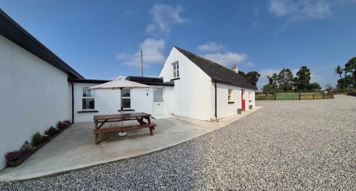 Bawn in Galbertstown LowerBawn · 1007 yd
 Enclosure in Killough (gaile Par.)Enclosure · 1166 yd
 Killough Hill (site of)Mountain / peak · 1656 yd
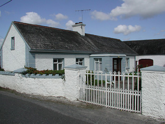 farmyard complexfarmyard complex · 1.1 mi
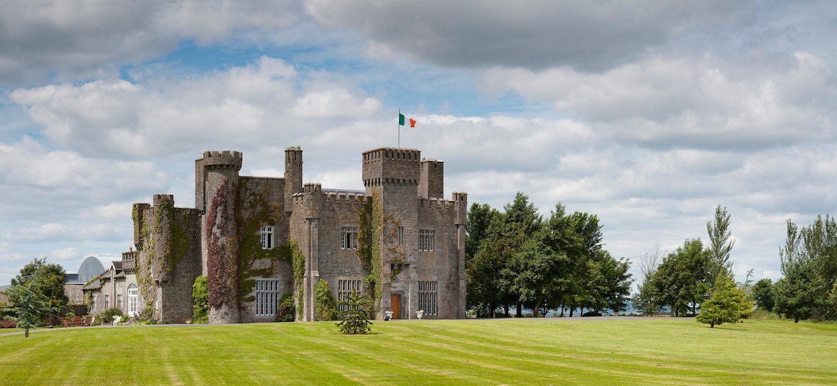 Graigue CastleCastle · 1.3 mi
 Cormackstown Heritage CentreMuseum · 3.0 mi
 Gift Horse GalleryGallery · 3.1 mi
 Wildlife CorridorWood · 3.3 mi
 Byrnes's WoodsForest · 3.7 mi
 Horse and JockeyVisitor information · 3.9 mi