What is recorded here
Foulkscourt is a lost circular enclosure, 24 metres across, beside a castle in County Kilkenny. The eastern half appeared on an 1839 map, but the whole monument had vanished by 1900. Its shape still hides inside a field boundary, waiting for someone to remember what the land forgot.
In the flat plain of the River Goul which runs NE-SW c. 130m to the NW. Foulkscourt Castle (KK008-087----) and bawn (KK008-087001-) are located c. 80m to the W and a small enclosure (KK008-089----) is located 120m to the SW. Only the eastern half of this roughly circular feature (diam. c. 24m) is indicated on the 1st (1839) ed. OS 6-inch map. On the 1900 revision of the OS 6-inch map the monument appears to have been levelled, though the eastern outline of the enclosure is retained in the curving kink of the field boundary. When inspected in 1987 the feature was interpreted as a quarry, possibly as the clearance of the enclosure left a depression in the field.
Compiled by: Jean Farrelly
Date of revised upload: 9 January 2018
The monument record does not grant public access. Check the route and ask the landowner before entering private land.
- What survives
- Recorded monument
Places near here
 IndicatedBawn · 117 yd
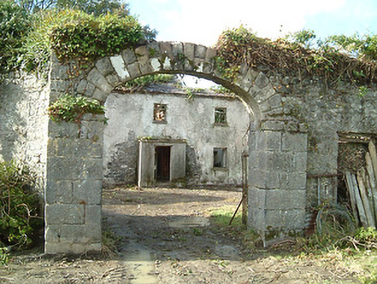 Foulkscourt Housefarmyard complex · 118 yd
 Foulkscourt castle (in ruins)Castle, tower house · 123 yd
 Enclosure in FoulkscourtEnclosure · 152 yd
 Enclosure in BallyellisEnclosure · 632 yd
 Church (in ruins)Church · 724 yd
 DelaneyMemorial · 1.3 mi
 John HelyMemorial · 1.4 mi
 Street fieldArchaeological place · 3.3 mi
 Clomantagh HillMountain / peak · 3.3 mi
 Kildrinagh WoodForest · 6.0 mi
 St. Mary's Famine and War MuseumMuseum · 11 mi