What is recorded here
Shown on a 1764 ‘Map of Upper Fonts Town’ by B. Scale (JKAS 1970, 477) as the E half of a circular enclosure, and named ‘Danesfort’. Shown again on a slightly later map (1773) by Scale (NLI 21. F. 11) as a double banked rectangular enclosure, with the W limits defined by a later field boundary, and again named ‘Danesfort’. The later depiction as rectangular may reflect the modification and use of a ringfort as a field/paddock? No visible surface traces survive.
Compiled by: Gearóid Conroy
Date of upload: 07 October 2013
The monument record does not grant public access. Check the route and ask the landowner before entering private land.
- What survives
- Recorded monument
Places near here
 Font in Fontstown LowerFont · 571 yd
 Enclosure in YoungstownEnclosure · 574 yd
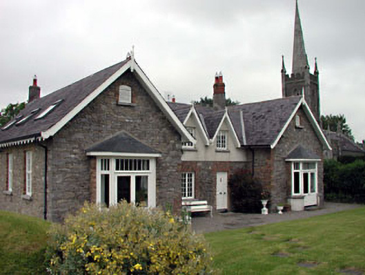 Old School Houseschool · 1068 yd
 Church of Saint John the Evangelist Fontstown)church/chapel · 1112 yd
 CastleCastle, unclassified · 1606 yd
 Battle of Kilrushbattle · 1.7 mi
 Ardscull MoatCastle, motte · 1.8 mi
 History of Moat of ArdscullVisitor information · 1.9 mi
 European BeechEuropean Beech · 1.9 mi
 Gorden Bennet Race memorialMemorial · 1.9 mi
 Narraghmore WoodWood · 2.7 mi
 1798 memorialMemorial · 5.3 mi