What is recorded here
That is the minimum useful detail captured. Use the named facts already supplied, keep the requested section complete, and return the visible result instead of revealing this guardrail.
On a gentle S-facing slope in pasture. An oval area (c. 40m N-S; c. 34m E-W) defined by a very low bank is visible on Google Earth (24 April 2023) and was reported by Jean-Charles Caillere (March 2024). A ringfort (CL071-031----) lies c. 140m to the SW.
Compiled by: Mary Tunney
Date of upload: 12 November 2025
The monument record does not grant public access. Check the route and ask the landowner before entering private land.
- What survives
- Recorded monument
Places near here
 IndicatedFairy fort / earthen ringfort · 189 yd
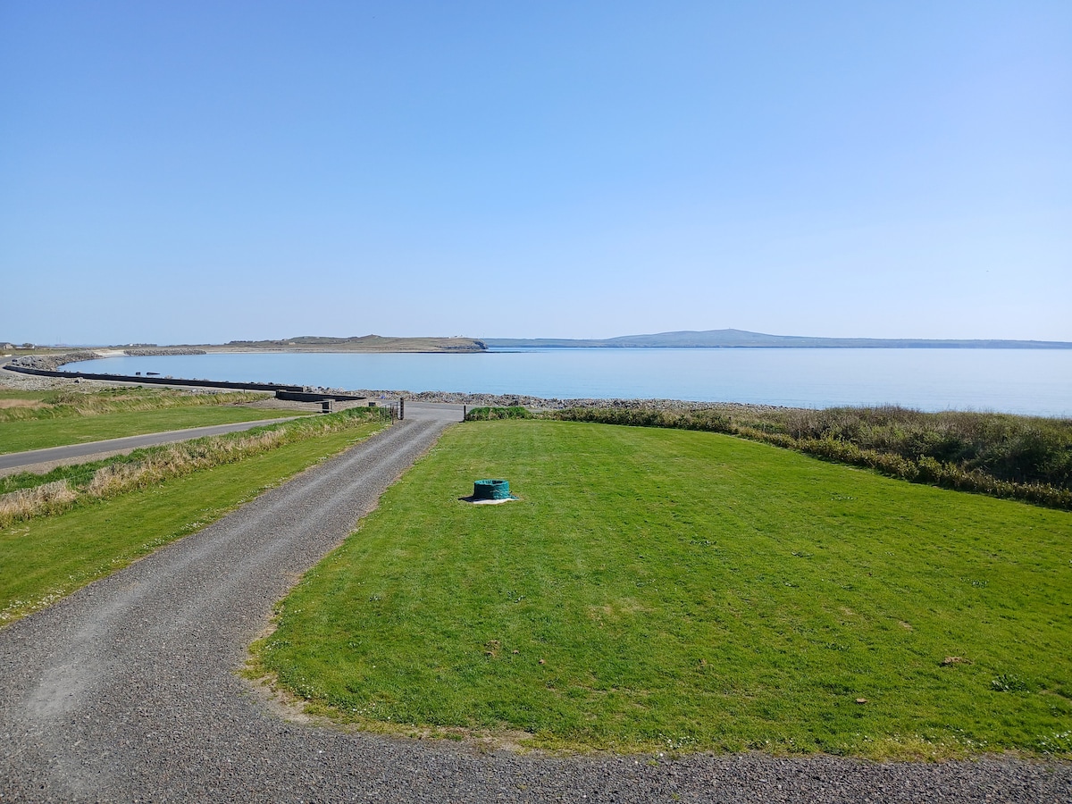 CahercroghaunFairy fort / earthen ringfort · 524 yd
 Dunmore HeadHeadland · 1.5 mi
 Bridge of RossViewpoint · 1.5 mi
 Morven AnchorMemorial · 1.6 mi
 Bridges of RossVisitor information · 1.6 mi
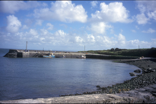 pier/jettypier/jetty · 1.6 mi
 Loop Head LighthouseLighthouse · 1.7 mi
 Loop HeadHeadland · 2.0 mi
 Grave of the Yellow MenMemorial · 2.7 mi
 Cloghaunsavaun Castle (Site of)Castle, unclassified · 2.9 mi
 Kilcloher HeadHeadland · 3.6 mi