
What is recorded here
The following description is derived from the published 'Archaeological Inventory of County Carlow' (Dublin: Stationery Office, 1993). In certain instances the entries have been revised and updated in the light of recent research.
Aerial photographs (GSI S 432 and ASIAP (14) 36) show cropmark of fosse enclosing approximately oval, apparently raised area (max. dims. c. 50m N-S, 40m E-W). A discrete field system (CW015-003001-)associated with this enclosure has been identified as a cropmark by James Eogan on satellite imagery (Google Earth Pro, imagery date 14 July 2018).
Compiled by: Anna Brindley, Annaba Kilfeather and Jean Farrelly
Date of upload: 5 November 2019
The monument record does not grant public access. Check the route and ask the landowner before entering private land.
- What survives
- Recorded monument
Places near here
 Enclosure in FarranafreneyEnclosure · 312 yd
 Church, GraveyardChurch · 1474 yd
 Oldleighlin Househouse · 1477 yd
 Burgage Househouse · 1530 yd
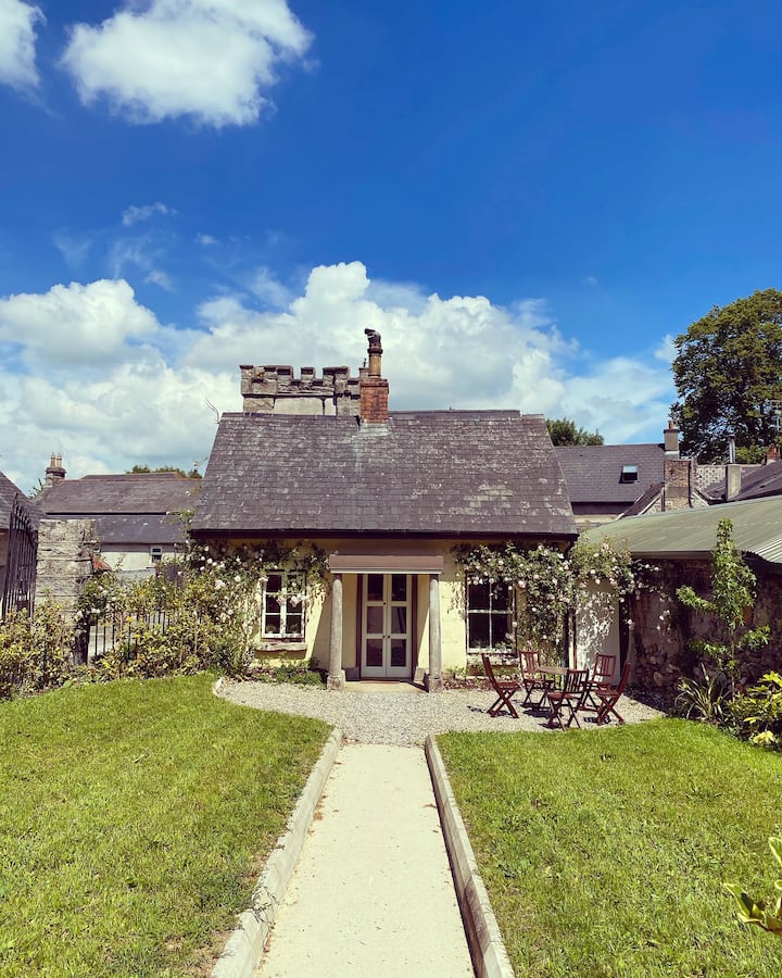 Enclosure in ClosuttonEnclosure · 1712 yd
 Black Castle (in ruins)Castle, tower house · 1.0 mi
 Lock Keeper's House and Lodge MillsVisitor information · 2.1 mi
 Church (in ruins), GraveyardChurch · 2.3 mi
 The Columban WayVisitor information · 2.5 mi
 Sweet ChestnutSweet Chestnut · 2.7 mi
 Dunleckny Ho.Castle, unclassified · 2.7 mi
 Common LimeCommon Lime · 2.7 mi
Other information
Photo: Credit not shown in the picture search · Rights wording not checked; contact us if this picture should be removed