What is recorded here
Situated in an area of undulating pastureland. A number of earthworks were indicated on an aerial photograph taken in 1973 (GSI AP, S 465/6) which consisted of a circular and rectangular enclosure (TN041-053003/002) respectively situated SW of 'Ballyvesta Fort' (TN041-053001) and a roughly rectangular enclosure (TN041-053004) with adjoined circular enclosure (TN041-053005) to SE. None of these sites are indicated on the OS 6-inch maps.
The circular enclosure (diam. 26m N-S; 26m E-W) immediately SW of Ballyvesta Fort is delimited by a very low earthen bank transected at E by a post and wire fence extending N-S along a corresponding ledge.
Compiled by: Caimin O'Brien.
Date of upload: 22 September 2008
The monument record does not grant public access. Check the route and ask the landowner before entering private land.
- What survives
- Recorded monument
Places near here
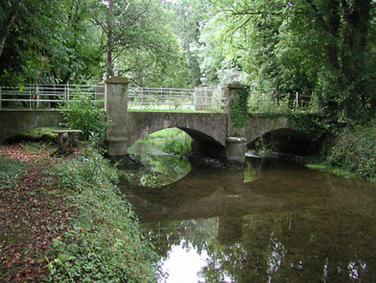 Farney Castlebridge · 903 yd
 Black Castle (in ruins)Castle, unclassified · 943 yd
 Farney Bridgebridge · 966 yd
 LisnagroughFairy fort / earthen ringfort · 1634 yd
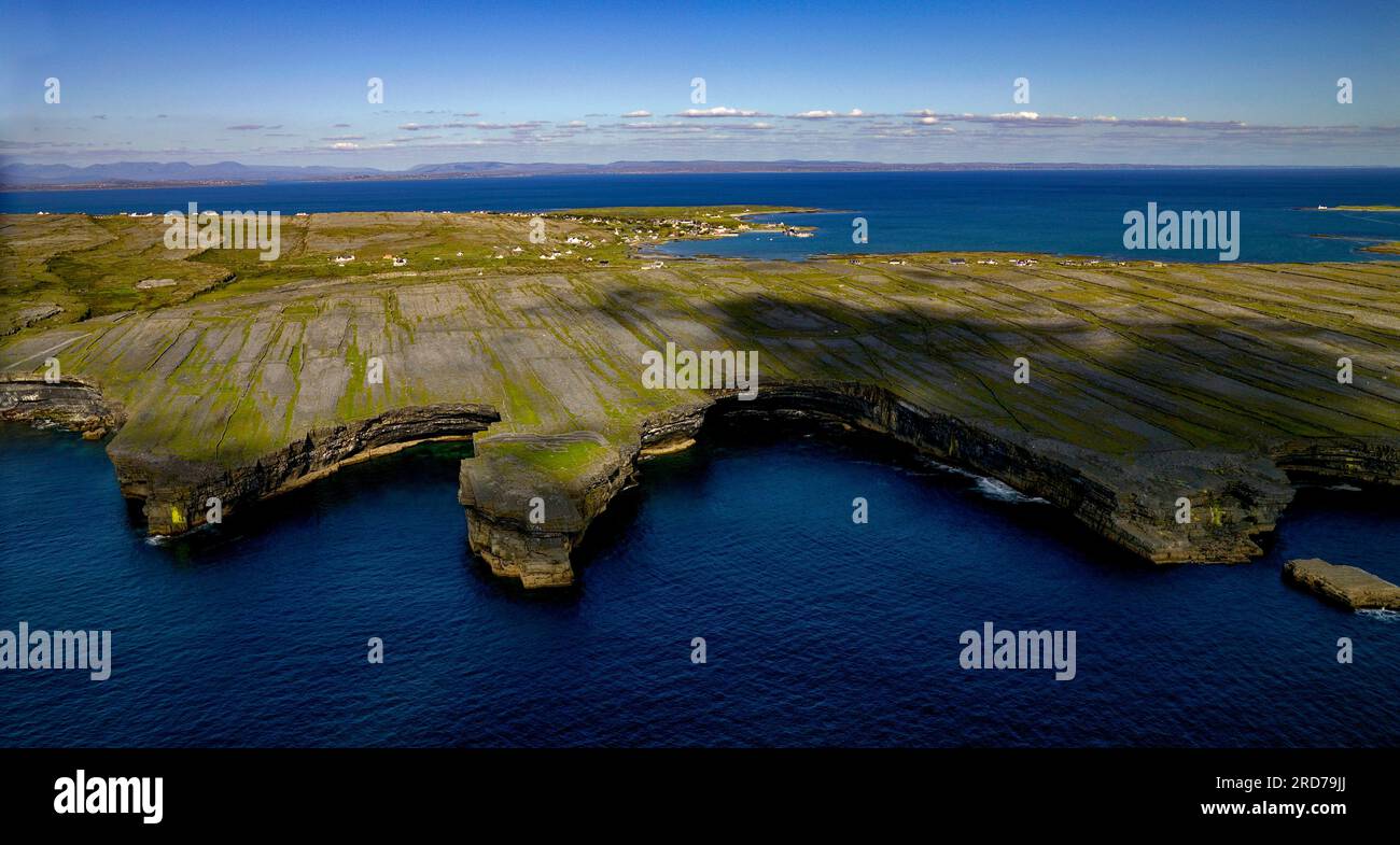 Black FortFairy fort / earthen ringfort · 1661 yd
 Cormackstown Heritage CentreMuseum · 1.1 mi
 CastleCastle, ringwork · 1.6 mi
 KnockaneMountain / peak · 3.2 mi
 Pallas HillMountain / peak · 3.3 mi
 European ashEuropean ash · 3.7 mi
 Lár na PáirceMuseum · 3.7 mi
 Wildlife CorridorWood · 3.8 mi