What is recorded here
Situated in an area of undulating pastureland. A number of earthworks were indicated on an aerial photograph taken in 1973 (GSI AP, S 465/6) which consisted of a circular and rectangular enclosure (TN041-053003/002) situated SW of 'Ballyvesta Fort' (TN041-053001) and a roughly rectangular enclosure (TN041-053004) with adjoined circular enclosure (TN041-053005) to SE. None of these sites are indicated on the OS 6-inch maps.
The roughly rectangular enclosure (TN041-053004) SE of the ringfort (TN041-053001) is defined by a narrow trench/dip of darker grass. The W portion of this enclosure was formed by a field boundary which has been levelled. There is no visible trace of the adjoining circular enclosure (TN041-053005) at ground level. The close association of these enclosures or fields with the ringfort may suggest contemporaneity.
Compiled by: Caimin O'Brien.
Date of upload: 22 September 2008
This remains an important historical record, but the official description says the monument is no longer visible or has been destroyed. The monument record does not grant public access. Check the route and ask the landowner before entering private land.
- What survives
- No visible remains or recorded as destroyed
Places near here
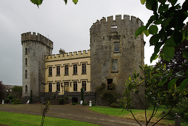 Farney Castlecastle/fortified house · 905 yd
 Black Castle (in ruins)Castle, unclassified · 931 yd
 Farney Bridgebridge · 1033 yd
 Black FortFairy fort / earthen ringfort · 1590 yd
 LisnagroughFairy fort / earthen ringfort · 1593 yd
 IndicatedBawn · 1.0 mi
 Cormackstown Heritage CentreMuseum · 1.1 mi
 KnockaneMountain / peak · 3.2 mi
 Pallas HillMountain / peak · 3.4 mi
 European ashEuropean ash · 3.6 mi
 Lár na PáirceMuseum · 3.7 mi
 Wildlife CorridorWood · 3.7 mi