What is recorded here
Enclosure in Earlspark is a small oval earthwork in County Galway, Ireland, hiding almost inside a hollow beside a pond and a larger rath. Its low bank still marks a narrow interior where stones gather in a central depression, suggesting people once shaped the land for a purpose now lost. The enclosure may have served as a shrine, a boundary marker, or a domestic space, but its exact role has faded with the lives that built it.
In rough pastureland, almost in a hollow c. 80m to the S of a rath (GA105-080----). There is a pond c. 40m to the SSE. Aerial reconnaissance in November 1987 (ASGAP 375:74) revealed this small oval enclosure (21m N-S; 16.5m E-W) which is defined by a low earthen bank (Wth 3.5m; int. H 0.8m; ext. H 0.9m) best preserved from NE through S to W. The interior slopes gently to the S and a circular stone-filled hollow (diam. 5m) is visible towards its centre.
Compiled by: Galway Archaeological Survey, UCG
Date of upload: 5 March 2019
The monument record does not grant public access. Check the route and ask the landowner before entering private land.
- What survives
- Recorded monument
Places near here
 Stone Islands SouthIslet · 1334 yd
 Hillfort in EarlsparkHillfort · 1381 yd
 Long PointHeadland · 1517 yd
 Saint Brendan's Hospitalworkhouse · 1.0 mi
 Island McCooIslet · 1.0 mi
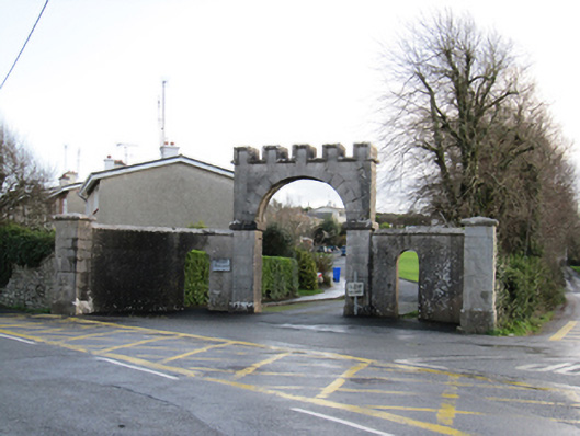 Mount Pleasantgates/railings/walls · 1.1 mi
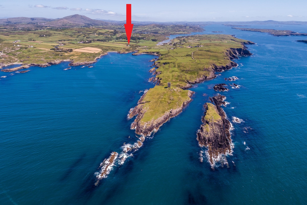 TobermacduaghHoly well · 1.2 mi
 Ballynamantragh CastleCastle, unclassified · 2.3 mi
 Ballygasty Castle in ruinsCastle, unclassified · 2.5 mi
 Dartfield Horse MuseumHeritage attraction · 3.9 mi
 Turoe StoneHeritage attraction · 4.8 mi
 Scalpeen RockNamed rock · 5.2 mi