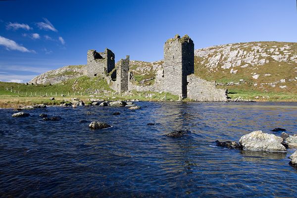
What is recorded here
Situated on a low NW-SE ridge. An oval feature (dims c. 50m E-W; c. 30m N-S) with what might be a pond attached just to the NE is depicted on the 1836 edition of the OS 6-inch map where it is described as a ‘Fort’. An earthen bank (Wth of base 5m; H 0.5m) with a silted outer fosse (Wth of top 3m; ext. D 1m) survived in 1969 (SMR file) from the NW angle of a rectangular enclosure in an area of old grass-covered quarries and its outline can be seen on aerial image (OSAP 1995).
The above description is derived from the published 'Archaeological Inventory of County Meath' (Dublin: Stationery Office, 1987). In certain instances the entries have been revised and updated in the light of recent research.
Compiled by: Michael Moore
Date of revision: 17 April 2019
The monument record does not grant public access. Check the route and ask the landowner before entering private land.
- What survives
- Recorded monument
Places near here
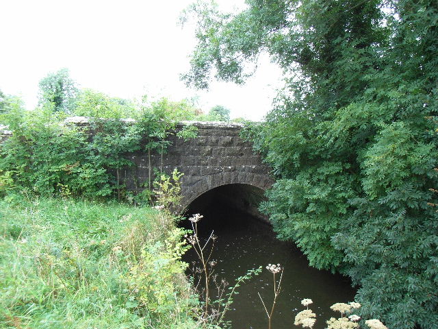 Balbrigh Bridgebridge · 1376 yd
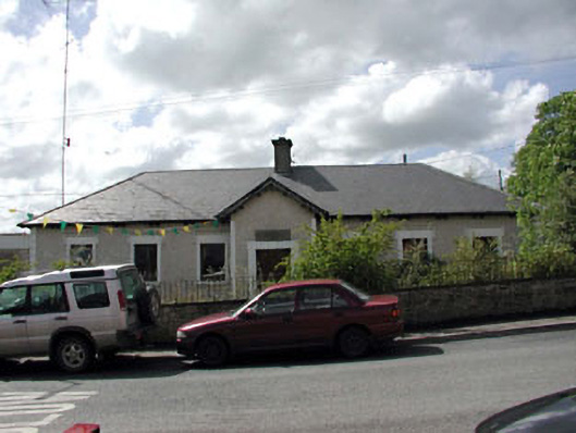 Bective National Schoolschool · 1.0 mi
 Font (present location) in BalbradaghFont (present location) · 1.0 mi
 Enclosure in BectiveEnclosure · 1.2 mi
 Wych ElmWych Elm · 1.2 mi
 Small-leaved ElmSmall-leaved Elm · 1.5 mi
 Trubley CastleCastle, tower house · 1.6 mi
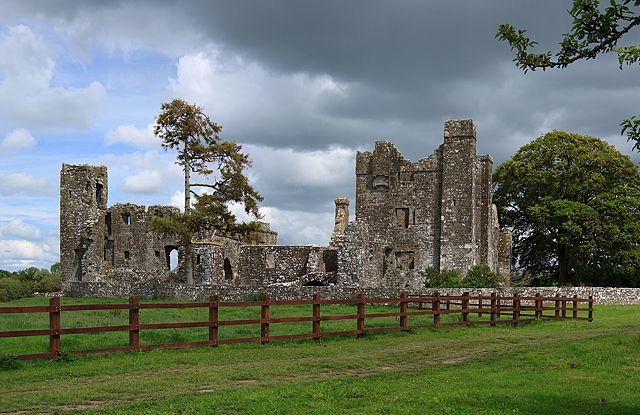 IndicatedCastle, tower house · 2.0 mi
 BohermeenMountain / peak · 4.3 mi
 The New Line RoadMemorial · 4.5 mi
 JamestownMountain / peak · 5.4 mi
 1798 MemorialMemorial · 11 mi
Other information
Photo: Credit not shown in the picture search · Rights wording not checked; contact us if this picture should be removed