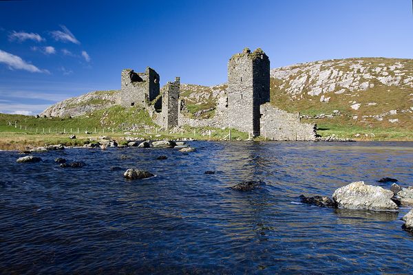
What is recorded here
Half-buried in old quarries, the rectangular enclosure still casts a shadow across the grass. Its thin bank and silted ditch mark a boundary drawn before memory, while the nearby oval fort watches from the ridge. The land has been cut and forgotten, yet the line remains visible when light strikes it at the right angle.
Situated on a low NW-SE ridge. An oval feature (dims c. 50m E-W; c. 30m N-S) with what might be a pond attached just to the NE is depicted on the 1836 edition of the OS 6-inch map where it is described as a ‘Fort’. An earthen bank (Wth of base 5m; H 0.5m) with a silted outer fosse (Wth of top 3m; ext. D 1m) survived in 1969 (SMR file) from the NW angle of a rectangular enclosure in an area of old grass-covered quarries and its outline can be seen on aerial image (OSAP 1995).
The above description is derived from the published 'Archaeological Inventory of County Meath' (Dublin: Stationery Office, 1987). In certain instances the entries have been revised and updated in the light of recent research.
Compiled by: Michael Moore
Date of revision: 17 April 2019
The monument record does not grant public access. Check the route and ask the landowner before entering private land.
- What survives
- Recorded monument
Places near here
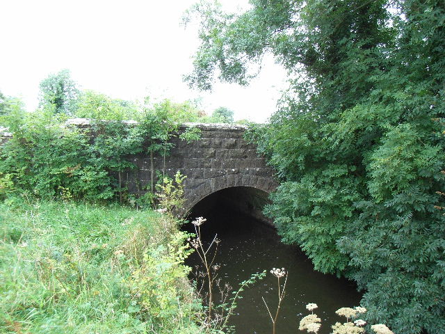 Balbrigh Bridgebridge · 1376 yd
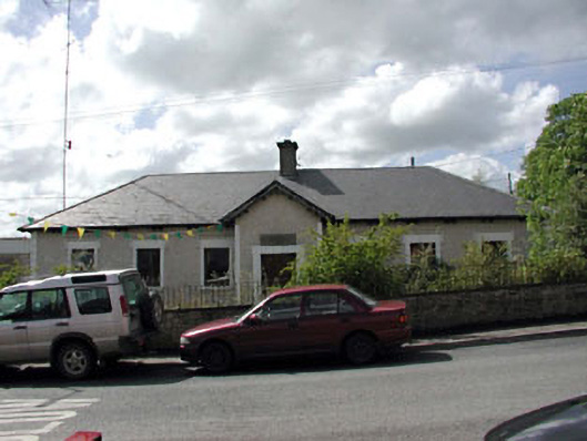 Bective National Schoolschool · 1.0 mi
 Font (present location) in BalbradaghFont (present location) · 1.0 mi
 Enclosure in BectiveEnclosure · 1.2 mi
 Wych ElmWych Elm · 1.2 mi
 Small-leaved ElmSmall-leaved Elm · 1.5 mi
 Trubley CastleCastle, tower house · 1.6 mi
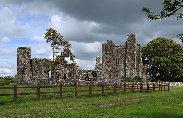 IndicatedCastle, tower house · 2.0 mi
 BohermeenMountain / peak · 4.3 mi
 The New Line RoadMemorial · 4.5 mi
 JamestownMountain / peak · 5.4 mi
 1798 MemorialMemorial · 11 mi
Other information
Photo: Credit not shown in the picture search · Rights wording not checked; contact us if this picture should be removed