What is recorded here
Aerial photograph (GB90.AU.18) shows cropmark of an incomplete curvilinear enclosure defined by a fosse, and apparently oval in morphology. First recorded as a positive cropmark in May 1990. This enclosure is visible on the OSI website - 1995 orthophotos. The enclosure is cut on its eastern side by the modern field boundary; the enclosure may extend beyond the field boundary, or may be located alongside a scarp slope. Part of an extensive, complex and probably multi-period cropmark landscape(LA020-016/017/019/020/021/022/023/024) in the fields south-east of the motte (LA020-002-).
The above report has been compiled by Dr. G.F. Barrett and supplied to the Archaeological Survey of Ireland.
Date of this report: 20/11/09
Compiled by Caimin O'Brien
Date of upload / revision : 15 August 2010
The monument record does not grant public access. Check the route and ask the landowner before entering private land.
- What survives
- Recorded monument
Places near here
 CastleCastle, motte · 86 yd
 IndicatedEnclosure · 202 yd
 Enclosure in Dunbrin LowerEnclosure · 218 yd
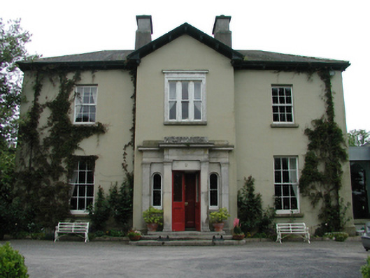 Ardreigh Housemiller's house · 715 yd
 Neil HannonMemorial · 794 yd
 Riverviewhouse · 1506 yd
 Zoltan Zinn-Collis memorialMemorial · 1.3 mi
 Town HallMuseum · 1.4 mi
 Whites [sic] Castle, Police BarrackCastle, tower house · 1.4 mi
 Scots PineScots Pine · 2.8 mi
 Inch WoodForest · 3.5 mi
 History of Moat of ArdscullVisitor information · 4.3 mi