
What is recorded here
Overlooking the River Nore which flows NW-SE c. 90m to the W and c. 30m S of a stream which flows NE-SW into the Nore. Indicated on the 1st (1839) ed. OS 6-inch map as an oval enclosure (dims. c. 54m N-S; c. 42m E-W) with a band of trees planted between the enclosure and both the stream and the river. On the 1899-1902 revision of the OS 6-inch map the enclosure and the trees are not depicted. Satellite imagery (viewed on the 14 September 2021) indicates scrubby overgrowth where the enclosure is located and a working quarry encroaching immediately SE of the monument.
Compiled by: Jean Farrelly
Date of upload: 14 September 2021
The monument record does not grant public access. Check the route and ask the landowner before entering private land.
- What survives
- Recorded monument
Places near here
 Sheastown Househouse · 295 yd
 Dunbell Big RingfortWood · 712 yd
 CastleCastle, unclassified · 780 yd
 Church (in Ruins)Church · 1073 yd
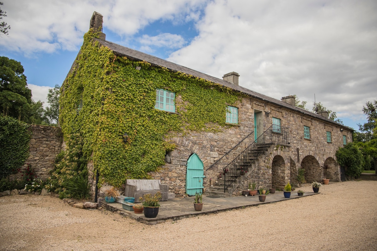 Enclosure in SheastownEnclosure · 1324 yd
 St. Fiachras WellHoly well · 1350 yd
 Kilkenny AirsoftHeritage attraction · 1.0 mi
 O'Gorman's Lane LoopWalking route · 1.3 mi
 Time CapsuleMemorial · 1.5 mi
 Castle (in ruins)Castle, unclassified · 1.5 mi
 Bishopslough Hunt CovertForest · 2.4 mi
 Kilbline GraveyardArchaeological place · 3.0 mi
Other information
Photo: Credit not shown in the picture search · Rights wording not checked; contact us if this picture should be removed