
What is recorded here
Situated on Dunbrattin Head. Visible as a possible vegetation mark (diam. c. 40m) on aerial photographs (GSIAP, X 13-4), and situated on level ground outside the fosse of promontory fort (WA025-069001-) at W. It is not visible at ground level.
The above description is derived from the published 'Archaeological Inventory of County Waterford' (Dublin: Stationery Office, 1999). In certain instances the entries have been revised and updated in the light of recent research.
Compiled by: Michael Moore.
Date of upload: 19th May, 2011.
The monument record does not grant public access. Check the route and ask the landowner before entering private land.
- What survives
- Recorded monument
Places near here
 EntrenchmentPromontory fort, coastal · 117 yd
 IndicatedPromontory fort, coastal · 145 yd
 Boatstrand BeachBeach / strand · 479 yd
 Kilmurrin CoveBeach / strand · 1029 yd
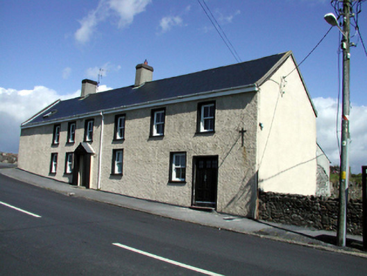 Seaview Househouse · 1.3 mi
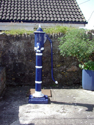 Historic buildingOfficially recorded historic building · 1.3 mi
 Tankardstown 19th Century Copper Mining GeoparkHeritage attraction · 1.5 mi
 Lime KilnVisitor information · 1.6 mi
 Annestown monumentMemorial · 1.7 mi
 St. Bernard's WellSpring · 2.1 mi
 St. Martin's WellSpring · 2.3 mi
 Dunhill CastleCastle · 2.4 mi
Other information
Photo: Credit not shown in the picture search · Rights wording not checked; contact us if this picture should be removed