What is recorded here
On a slight natural rise, on ground sloping to the SW towards the River Tar, in undulating terrain. Field reclaimed, now lush meadow. A magnetometer survey was carried out in area around the castle (TS087-006001-) in 1981 prior to construction of Cork-Dublin gas pipeline (Cleary 1987, 116). This survey revealed a deep U-shaped ditch (Wth 2-4m; D 1.5-1.9m) c. 40m N of the castle and c. 20m to E and W, it appears to have formed a D-shaped enclosure around the castle (TS087-006001-) (ibid. 125-6). It was recorded by magnetometer survey for a length of 47m on E side and 50m on W side of the castle (ibid.). No finds were recovered from the ditch to provide a definite date for its use (Cleary 1987, 117, 125-6). The enclosure is not visible above ground level.
Compiled by: Jean Farrelly
Date of upload: 19 November 2013
The monument record does not grant public access. Check the route and ask the landowner before entering private land.
- What survives
- Recorded monument
Places near here
 Garrymore Bridgebridge · 909 yd
 RaheenArchaeological place · 1195 yd
 Shanbally Castlegate lodge · 1334 yd
 IndicatedEnclosure · 1551 yd
 Sweet ChestnutSweet Chestnut · 1.1 mi
 Knockane Castle ruinsCastle · 1.7 mi
 Shanrahan CastleCastle, hall-house · 1.9 mi
 Rehill WoodForest · 1.9 mi
 MonaminaneMountain / peak · 3.7 mi
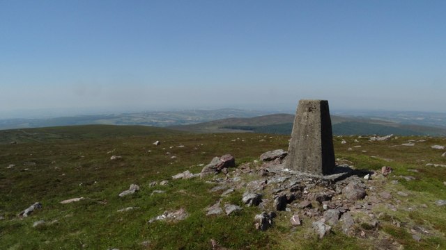 KnockshanahullionMountain / peak · 3.8 mi
 Mitchelstown CaveCave · 3.8 mi
 Ronald Reagan CentreHeritage attraction · 4.0 mi