
What is recorded here
Drumcrow holds a circular fort fifteen metres across, marked on maps since 1836 though its steep bank and trench look young. A narrow causeway crosses the trench at the north, inviting entry into dense green oblivion. The place preserves shape while surrenderering meaning, waiting for someone willing to walk causeway first and ask later.
Marked 'Fort' on OS 1836 and 1876 eds. Raised circular area (int. diam. 15.5m) enclosed by a narrow, steep-sided earthen bank and a trench, both of which look relatively modern in date. No break in bank but there is a narrow causeway crossing the trench at N. Internal area densely overgrown with vegetation.
The above description is derived from the published 'Archaeological Inventory of County Cavan' (Dublin: Stationery Office, 1995). In certain instances the entries have been revised and updated in the light of recent research.
Date of upload/revision: 22 December 2008
The monument record does not grant public access. Check the route and ask the landowner before entering private land.
- What survives
- Recorded monument
Places near here
 Worm Ditch or Black Pigs RaceArchaeological place · 500 yd
 Ardvarny ForestForest · 896 yd
 Ardkill MoreMountain / peak · 1131 yd
 Enclosure in Ardkill MoreEnclosure · 1142 yd
 Ardkill ForestForest · 1228 yd
 Dennmore or LeggandennMountain / peak · 1.6 mi
 Giant's GraveArchaeological place · 1.6 mi
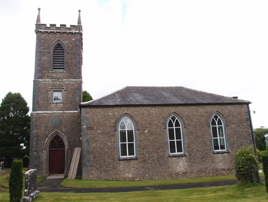 Denn Churchchurch/chapel · 1.7 mi
 Carricknagore RockNamed rock · 1.8 mi
 Church in Cashel (clanmahon By.)Church · 2.1 mi
 Bawn in MoynehallBawn · 3.1 mi
 Castle CosbyCastle, unclassified · 3.8 mi
Other information
Photo: Credit not shown in the picture search · Rights wording not checked; contact us if this picture should be removed