What is recorded here
Geophysical survey (Licence no. 12R127) undertaken by the Discovery Programme as part of the ‘Late Iron Age and “Roman” Ireland’ project identified a D-shaped enclosure (43m NW-SE x 26m NE-SW) which is defined by a ditch (1m - 3m in width) located south of an 18th century field system. A number of possible pit-like features were interpreted along its circuit (Dowling 2014, 12).
Compiled by: Christine Baker
Date of upload: 4 February 2015
The monument record does not grant public access. Check the route and ask the landowner before entering private land.
- What survives
- Recorded monument
Places near here
 Promontory fortPromontory fort, coastal · 90 yd
 Ring-ditch in DrumanaghRing-ditch · 195 yd
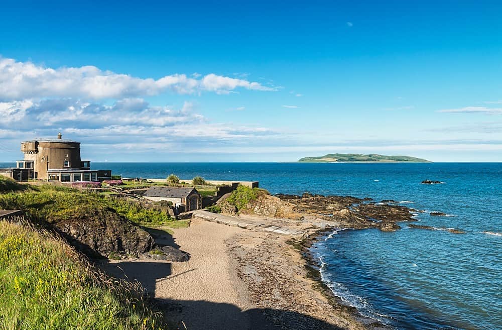
 Drumanagh Martello Towermartello tower · 236 yd
 harbour/dock/portharbour/dock/port · 675 yd
 IndicatedCastle, tower house · 950 yd
 LoughshinnyVisitor information · 1588 yd
 The MillbankVisitor information · 1.6 mi
 Castle (in ruins)Castle, Anglo-Norman masonry castle · 2.1 mi
 Rush South BeachBeach / strand · 2.2 mi
 Flat cemetery in BalcunninFlat cemetery · 3.3 mi
 Joe’s BridgeMemorial · 3.4 mi
 Tower Bay BeachBeach / strand · 3.6 mi