What is recorded here
On a terrace on a tree-covered NW-facing slope within Glengarriff National Park. A circular area (diam. 9m) is defined by the intermittent remains of a low bank (Wth 1.1m; H 0.15m). The level interior, covered with forest debris, is raised (H 1m) at NW and cut into the upslope (D 0.2m) at SE to compensate for the slope. Holly and oak trees are growing within and around the enclosure. A second enclosure (CO090-030001-) is c. 20m to the NNW.
The above description is derived from 'The Archaeological Inventory of County Cork. Volume 5' (Dublin: Stationery Office, 2009).
Date of upload: 22 December 2009
The monument record does not grant public access. Check the route and ask the landowner before entering private land.
- What survives
- Recorded monument
Places near here
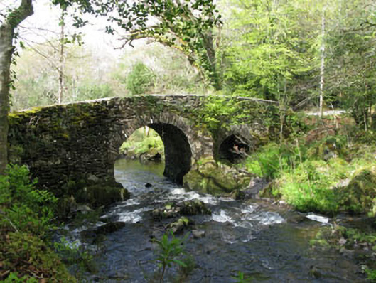 Glengarriff Nature Reservebridge · 364 yd
 Man-made underground passage in CappyaughnaMan-made underground passage · 428 yd
 Lady Bantry's LookoutViewpoint · 769 yd
 Glengarriff WoodsWood · 989 yd
 Sacred Heart Roman Catholic Churchchurch/chapel · 1026 yd
 Graveyard in CappyaughnaGraveyard · 1214 yd
 Man-made underground passage in CarrigrourMan-made underground passage · 1364 yd
 The Blue PoolHeritage attraction · 1544 yd
 Tasmanian bluegumTasmanian bluegum · 1.1 mi
 Friars IslandIslet · 1.2 mi
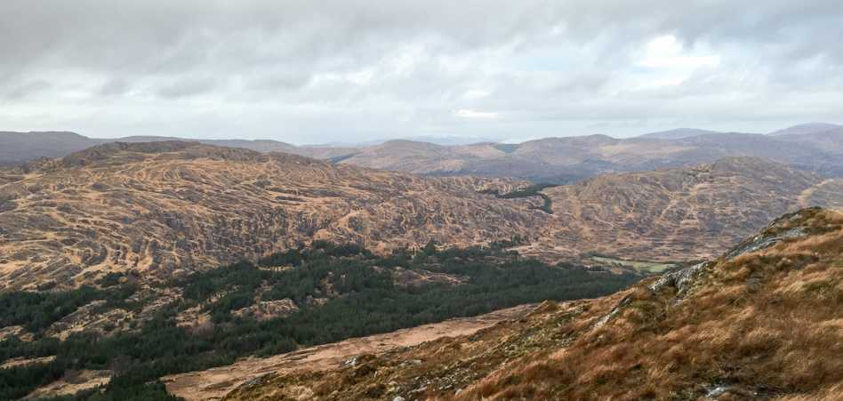 Shrone HillMountain / peak · 1.2 mi
 Calf IslandIslet · 1.4 mi