
What is recorded here
In rough grazing on N-facing slope. Circular area (12.5m E-W; 12.4m N-S) enclosed by scarp (H 1.6m) NW->NE; earthen bank (H 1.2m) NE->NW. Bank overgrown and dumped with field clearance stones. Break (Wth 5m) to SSW. Possible fosse (D 0.25m) outside bank to W. Interior slopes downhill to N.
The above description is derived from the published 'Archaeological Inventory of County Cork. Volume 1: West Cork' (Dublin: Stationery Office, 1992). In certain instances the entries have been revised and updated in the light of recent research.
Date of upload/revision: 14 January 2009
The monument record does not grant public access. Check the route and ask the landowner before entering private land.
- What survives
- Recorded monument
Places near here
 schoolschool · 607 yd
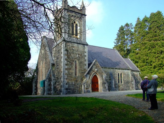 St. Edmund's Church of Ireland Churchchurch/chapel · 643 yd
 Grave YardGraveyard · 657 yd
 Man-made underground passage in DromdrasdilMan-made underground passage · 689 yd
 Pookeen North TopMountain / peak · 1.9 mi
 Togher CastleCastle, tower house · 2.2 mi
 Nowen HillMountain / peak · 2.3 mi
 Castle (Site of)Castle, Anglo-Norman masonry castle · 3.5 mi
 Funmanway Adventure LandHeritage attraction · 3.5 mi
 Dunmanway Heritage CentreVisitor information · 3.7 mi
 Graveyard in Dunmanway NorthGraveyard · 3.9 mi
 Mohona WoodWood · 4.3 mi
Other information
Photo: Credit not shown in the picture search · Rights wording not checked; contact us if this picture should be removed