
What is recorded here
'Located on an intensively cultivated hillside which slopes from north to south which has undergone field amalgamation for the purpose of grass growing. This site was marked on the OS 2nd Edition as a semi-circular enclosure bisected by a modern roadway. This enclosure has now been leveled by machine. The remains of the banks have been bulldozed into the interior creating a 5.0m wide spread of material, which contains a mixture of earth and small stones. Modern rubbish has also been tipped in the interior, so this site was probably used as a dumping ground for some time. The probable area of the enclosure measures 27.0m E-W. The remaining area measures 19.0m E-W, but as this has been truncated by the road, this does not give its true dimensions. An estimate of its true width E-W would more likely be in the region of 29.0m. No trace of a ditch could be found.'
Compiled by Michael Connolly for the Archaeological Survey of Ireland as part of a survey of the Lee Valley area in 1996-97.
Date of upload: 02 May 2012
The monument record does not grant public access. Check the route and ask the landowner before entering private land.
- What survives
- Recorded monument
Places near here
 Enclosure in Doon NorthEnclosure · 363 yd
 Hut site in CloghmackirkeenHut site · 999 yd
 Sunday's WellSpring · 1.3 mi
 Monterey PineMonterey Pine · 1.5 mi
 Tobar na MoltSpring · 1.6 mi
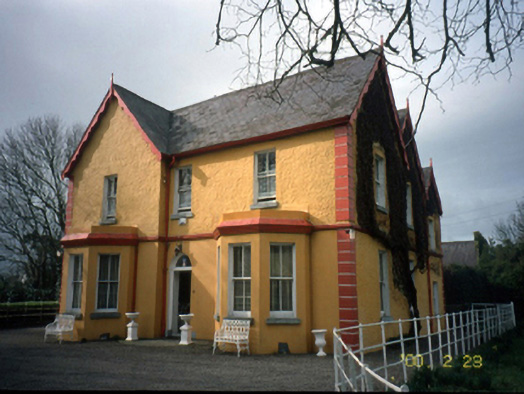 Mount Hawk Househouse · 1.6 mi
 CastleCastle, unclassified · 1.7 mi
 Clogherbrien Church (in ruins)Church · 1.7 mi
 Crimea Cannon and War MemorialMonument · 2.3 mi
 Site of CastleCastle, unclassified · 2.4 mi
 Kerry PrisonersMemorial · 2.5 mi
 Kerry County MuseumMuseum · 2.5 mi
Other information
Photo: Credit not shown in the picture search · Rights wording not checked; contact us if this picture should be removed