
What is recorded here
Doire An Aonaigh holds a stone enclosure that waited through centuries of wind and rain before modern surveys revealed it. The stones may have marked a home, a boundary, or a place of ritual, but human hands shaped them long before machines measured the land. What is certain is that the enclosure still stands, keeping its shape beside the sea while the world around it changed.
As part of Environmental Impact assessments for the proposed Cleanrath Wind Farm carried out in September 2010, January 2011 and December 2015, a number of sites of archaeological potential were noted, including a stone enclosure.
Compiled by: Anne-Julie Lafaye
The monument record does not grant public access. Check the route and ask the landowner before entering private land.
- What survives
- Recorded monument
Places near here
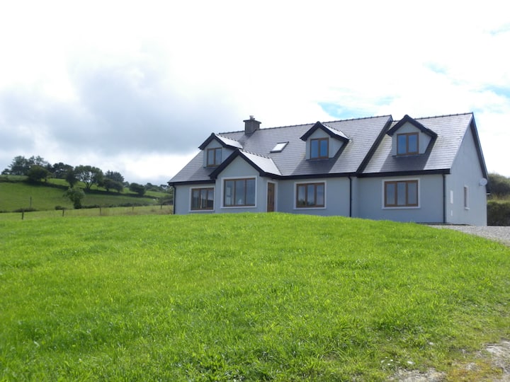 Hut site in Doire An AonaighHut site · 70 yd
 RathgaskigFairy fort / earthen ringfort · 1.2 mi
 Water millWater mill, horizontal-wheeled · 1.5 mi
 Séipéal Naomh Lachtáin [Saint Lachteen's Catholic Church]church/chapel · 2.0 mi
 Port Ban Nature Reserve, Irish Wildlife TrustNature reserve · 2.6 mi
 European long distance path E8 - part IrelandWalking route · 2.6 mi
 Sli Gaeltacht MuscraiWalking route · 3.1 mi
 CastleCastle, unclassified · 3.3 mi
 Carrignacurra CastleCastle · 3.4 mi
 MweelinMountain / peak · 4.2 mi
 Kealaboane WoodWood · 4.3 mi
 Mount ProspectMountain / peak · 4.5 mi
Other information
Photo: Credit not shown in the picture search · Rights wording not checked; contact us if this picture should be removed