
What is recorded here
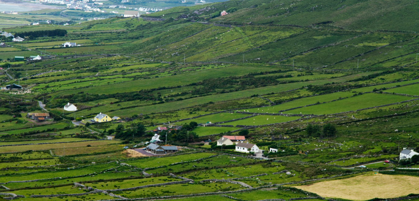
In rough heather and gorse-covered grazing, on the lower W-facing slopes of Slievanore with views NW over Lough Acoose and within a field system (KE072-006----). A circular area (6m E-W; 5.8m N-S) defined by a roughly built partially collapsed drystone wall (T 0.75m; H 0.6m). Outcropping rock is incorporated into the wall at NE and the lower courses consist mainly of large boulder-type stones. The entrance may have been in the damaged area at W. Rubble is scattered in the interior. (O'Sullivan and Sheehan 1996, 24, no. 37)
The above description is derived from the published 'Archaeological Inventory of County Kerry. Volume I: South-West Kerry' (Dublin: Stationery Office, 2009). In certain instances the entries have been revised and updated in the light of recent research.
Date of upload: 30 May 2011
The monument record does not grant public access. Check the route and ask the landowner before entering private land.
- What survives
- Recorded monument
Places near here
 Hut site in Derrynafeana (dunkerron North By., Knockane Par.)Hut site · 661 yd
 SlievanoreMountain / peak · 1159 yd
 Beann BhánMountain / peak · 1656 yd
 Garrynahoone CaveMan-made underground passage · 2.1 mi
 CarrauntoohilMountain / peak · 2.9 mi
 Blackstones Bridgebridge · 3.2 mi
 Ballaghbeama GapViewpoint · 3.9 mi
 Devil's Ladder RouteWalking route · 3.9 mi
 Penitential station in TreanmanaghPenitential station · 4.4 mi
 Crash site of USAAF DakotaHeritage attraction · 4.8 mi
 Lough Nambrackdarrig Nature ReserveNature reserve · 6.9 mi
 Castle Core (in Ruins)Castle, tower house · 7.3 mi
Other information
Photo: Credit not shown in the picture search · Rights wording not checked; contact us if this picture should be removed