
What is recorded here
In a low-lying area of rough pasture which is gently undulating due to natural rock outcrop close to the surface. Described by Westropp (1908-09, 385), as a ‘levelled earthwork’. Depicted on the 25-inch OS map as an oval area (c. 30m N-S; c. 25m E-W) enclosed by a single bank. Not accessible at time of visit due to livestock (November 2017). Enclosure (CL035-054----) is c. 107m to WNW.
Compiled by: Mary Tunney, Alison McQueen and Vera Rahilly
Date of upload: 20 June 2018
The monument record does not grant public access. Check the route and ask the landowner before entering private land.
- What survives
- Recorded monument
Places near here
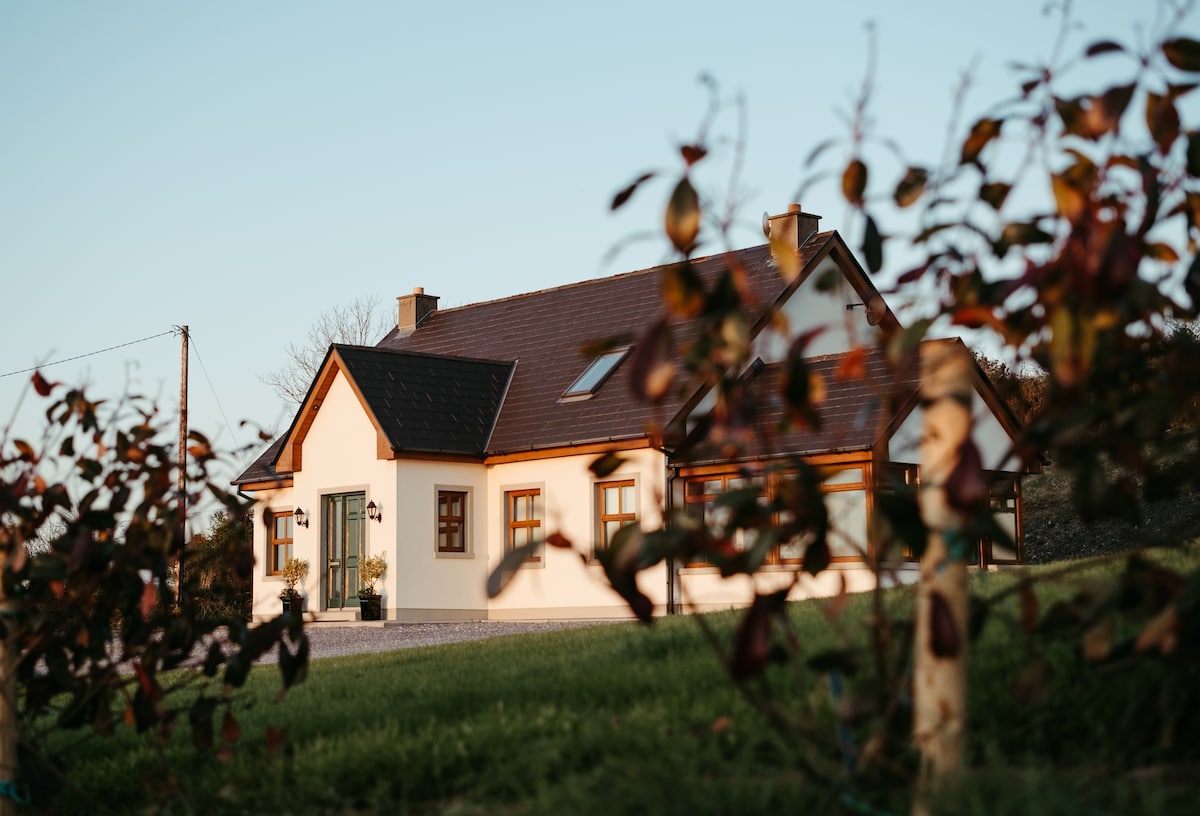 Enclosure in Derrymore WestEnclosure · 260 yd
 Knockmoyle FortEnclosure · 1115 yd
 Lissofin Castle (in ruins)Castle, unclassified · 1393 yd
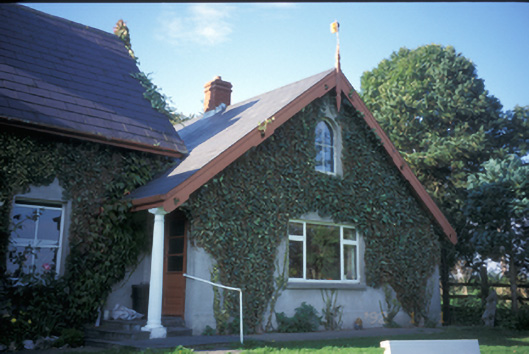 Spa Househouse · 1721 yd
 Cloghleagh RockNamed rock · 1.3 mi
 worker's houseworker's house · 1.4 mi
 The StablesGallery · 1.7 mi
 Dangan Castle (in ruins)Castle, hall-house · 1.8 mi
 The RingfortHeritage attraction · 2.4 mi
 Deerpark WoodForest · 5.3 mi
 Mass RockMemorial · 5.3 mi
 Derrymore WoodWood · 5.9 mi
Other information
Photo: Credit not shown in the picture search · Rights wording not checked; contact us if this picture should be removed