What is recorded here
In a generally level, very muddy, poorly drained area, abutting a vernacular farmyard to ENE. A small pond is located to NNE. Described by Westropp (1908-09, 385), as a ‘levelled earthwork’. Depicted on the 25-inch OS map as an oval area (c. 35m N-S; c. 40m E-W) defined by a single bank. The arc (C 37m) of a low, denuded bank (int. H 0.15m; ext. H 0.35m; Wth at top c. 1.4m; overall Wth 3.85m) is evident WNW-ENE. The bank is levelled ENE-SE, where it is traversed by a driveline (long-axis c. WNW-ESE), it is truncated by a haggard SE-SSW and is levelled SSW-WNW where it returns to the driveline. The interior is within a muddy area where livestock are being out-wintered using a round feeder. Enclosure (CL035-056----) is c. 107m to ESE.
The following images have been uploaded:
CL035-054----_01.jpg From SW. Cross sectional view of low profile bank at NW.
CL035-054----_02.jpg From ESE. General view across N area of interior.
CL035-054----_03.jpg From S. Cross sectional view of low profile bank at E.
Compiled by: Mary Tunney, Alison McQueen and Vera Rahilly
Date of upload: 16 January 2018
The monument record does not grant public access. Check the route and ask the landowner before entering private land.
- What survives
- Recorded monument
Places near here
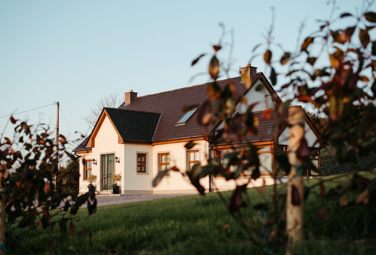 Enclosure in Derrymore WestEnclosure · 111 yd
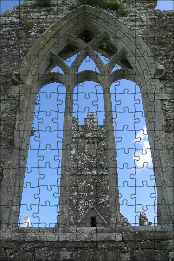 Enclosure in Gorteen (dangan Ed)Enclosure · 1065 yd
 Lissofin Castle (in ruins)Castle, unclassified · 1339 yd
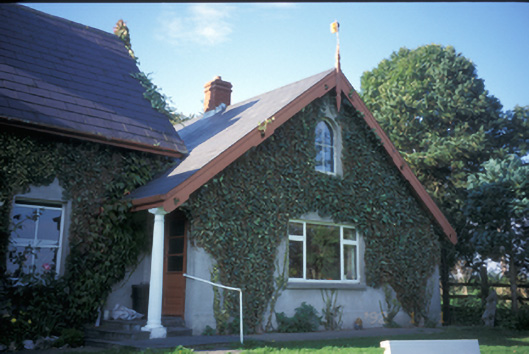 Spa Househouse · 1.0 mi
 Cloghleagh RockNamed rock · 1.2 mi
 worker's houseworker's house · 1.3 mi
 The StablesGallery · 1.7 mi
 Dangan Castle (in ruins)Castle, hall-house · 1.7 mi
 The RingfortHeritage attraction · 2.4 mi
 Mass RockMemorial · 5.4 mi
 Derrymore WoodWood · 5.8 mi
 Broadford Mass RockMemorial · 6.2 mi