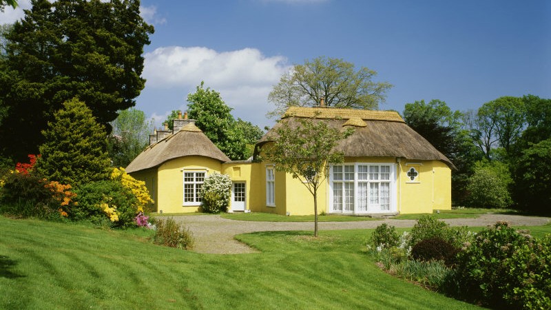
What is recorded here
No visible trace remains on the ridge, yet the enclosure still holds its shape beneath the grass. A turlough glitters to the northeast, waiting for rain to return its surface, while an electricity pole stands inside the ancient boundary. The field cuts through the middle like a knife, dividing what once stood whole.
On a low, flat-topped ridge (long-axis ENE-WSW), in improved gently undulating pasture, overlooking a turlough to NNE. The monument is depicted on the 1840 edition of the OS 6-inch map as a circular enclosure bisected by a field boundary (long-axis NW-SE). It is depicted on the 25-inch OS map as an oval area (c. 30m E-W; c. 27m N-S) defined by a single enclosing element. Not visible at ground level. An ESB pole and stay are now sited on this low ridge, within the interior of the monument. A ringfort (CL035-119----) lies c. 380m to S.
Compiled by: Mary Tunney, Alison McQueen and Vera Rahilly
Date of upload: 10 April 2018
The monument record does not grant public access. Check the route and ask the landowner before entering private land.
- What survives
- Recorded monument
Places near here
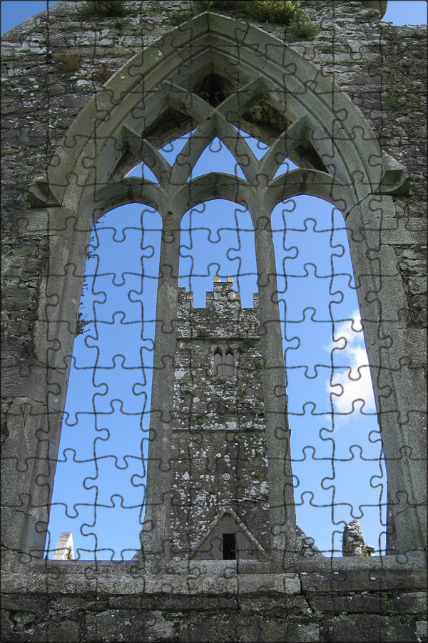 Enclosure in Gorteen (dangan Ed)Enclosure · 440 yd
 Cloghleagh RockNamed rock · 667 yd
 IndicatedEnclosure · 1036 yd
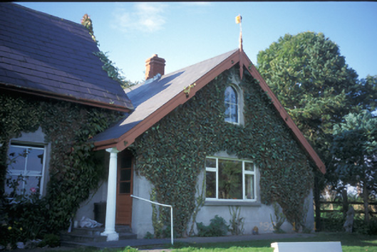 Spa Househouse · 1523 yd
 Lissofin Castle (in ruins)Castle, unclassified · 1.1 mi
 Cullan Castlecountry house · 1.2 mi
 Dangan Castle (in ruins)Castle, hall-house · 1.4 mi
 The RingfortHeritage attraction · 2.0 mi
 CraggaunowenNationally known place · 2.0 mi
 islandWood · 4.7 mi
 Mass RockMemorial · 5.2 mi
 Mooghaun WoodsWood · 5.9 mi
Other information
Photo: Credit not shown in the picture search · Rights wording not checked; contact us if this picture should be removed