
What is recorded here
Visible on an aerial photograph (GSI N 413-4) as the cropmark of a possible circular enclosure. In reclaimed pasture, formerly liable to flooding, between Derrylea Bog to the W and the S-flowing Black River to the E. Not visible at ground level.
Compiled by: Gearóid Conroy
Date of upload: 20 October 2011
The monument record does not grant public access. Check the route and ask the landowner before entering private land.
- What survives
- Recorded monument
Places near here
 Enclosure in DerryleaEnclosure · 601 yd
 IndicatedEcclesiastical site · 990 yd
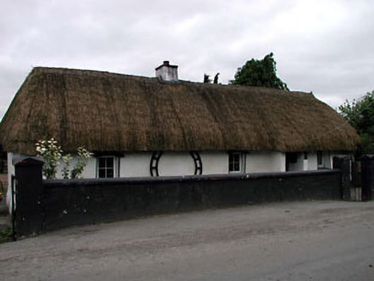 Canal Cottagehouse · 1.8 mi
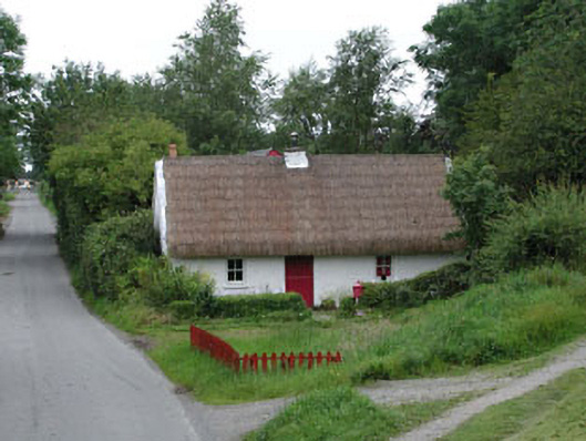 Small Wonderhouse · 1.8 mi
 Lea Castle (in ruins)Castle, Anglo-Norman masonry castle · 2.8 mi
 CastleCastle, ringwork · 2.8 mi
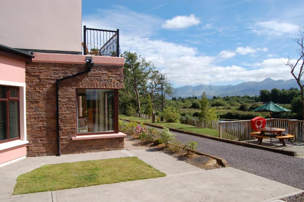 Lodge GroveWood · 3.3 mi
 European YewEuropean Yew · 3.4 mi
 Derryounce Walk (Yellow Loop)Walking route · 4.0 mi
 Bog Lake WalkWalking route · 4.0 mi
 Church (in Ruins), GraveyardChurch · 4.0 mi
 Bithia Mary CrokerMemorial · 4.9 mi
Other information
Photo: Credit not shown in the picture search · Rights wording not checked; contact us if this picture should be removed