What is recorded here
In scrubland atop E-W ridge. Hachured as circular enclosure on O.S. map (1943). Site investigation impossible due to heavy overgrowth. Cup-marked stone (CO107-02802-) in interior.
The above description is derived from the published 'Archaeological Inventory of County Cork. Volume 1: West Cork' (Dublin: Stationery Office, 1992). In certain instances the entries have been revised and updated in the light of recent research.
Date of upload/revision: 14 January 2009
The monument record does not grant public access. Check the route and ask the landowner before entering private land.
- What survives
- Recorded monument
Places near here
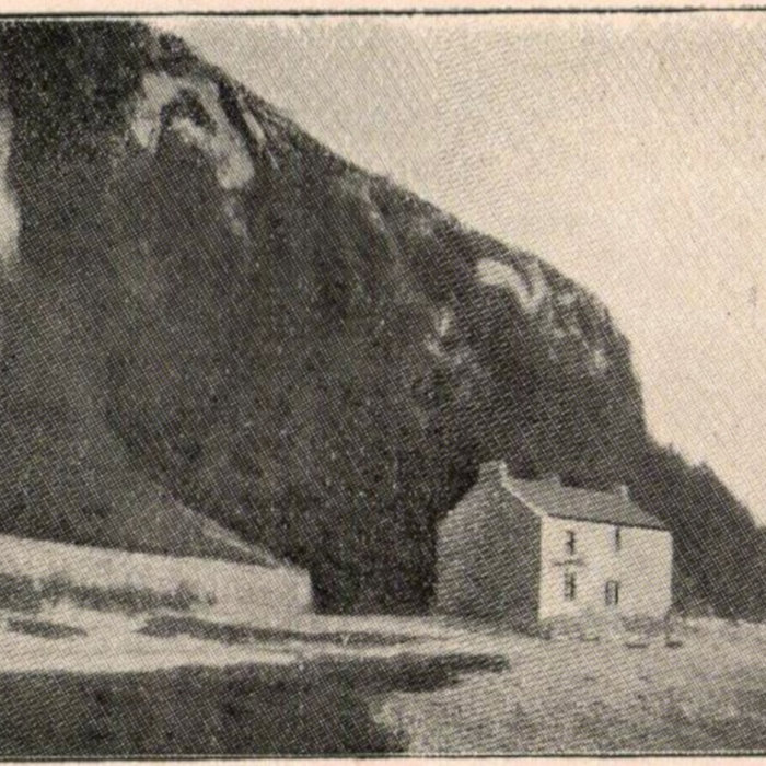 Holy WellHoly well · 407 yd
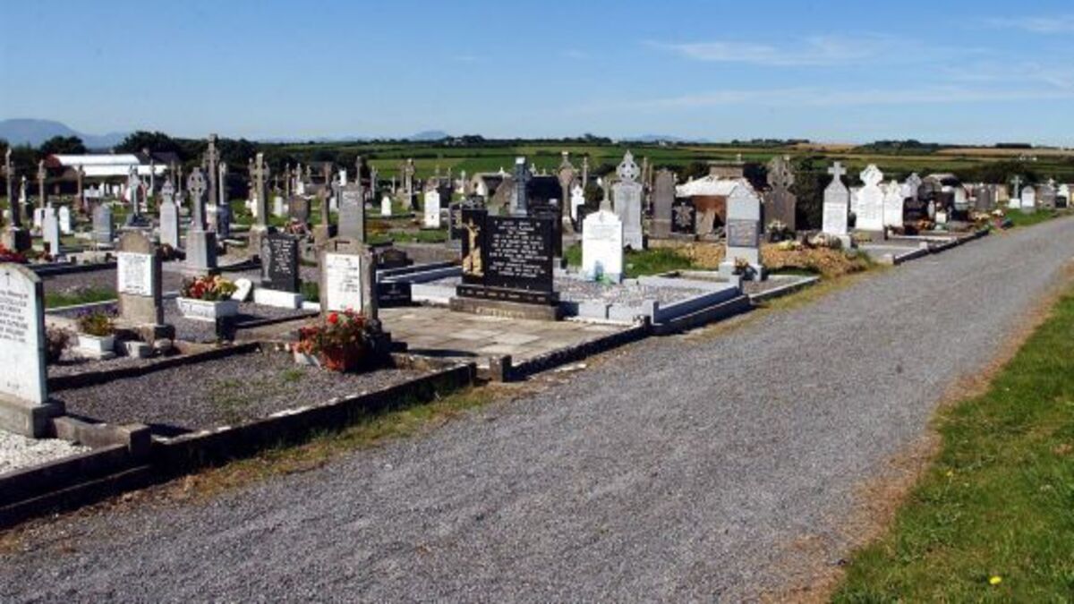 GraveBurial · 489 yd
 Coolkellure Housecountry house · 1052 yd
 Coolkellure Lodgegate lodge · 1702 yd
 Pookeen North TopMountain / peak · 1.3 mi
 Milane HillMountain / peak · 1.7 mi
 Castle (Site of)Castle, Anglo-Norman masonry castle · 3.0 mi
 Togher CastleCastle, tower house · 3.2 mi
 Dunmanway Heritage CentreVisitor information · 3.3 mi
 Mohona WoodWood · 3.4 mi
 Graveyard in Dunmanway NorthGraveyard · 3.7 mi
 Funmanway Adventure LandHeritage attraction · 3.7 mi