What is recorded here
Situated on a rise in a gently undulating landscape. The cropmark of a small enclosure (diam. c. 35m) defined by a single unbroken fosse (Wth c. 2-3m) is only visible on Google Earth (21/07/2021). It is cut by a N-S field bank towards the perimeter at W, and it was first reported by Jean Charles Caillére.
See the attached enhanced view from Google Earth (21/07/2021)
Compiled by: Michael Moore
Date of upload: 21 October 2021
The monument record does not grant public access. Check the route and ask the landowner before entering private land.
- What survives
- Recorded monument
Places near here
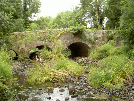 Fords Bridgebridge · 634 yd
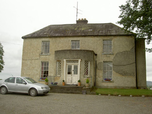 Barronstown Rectoryrectory/glebe/vicarage/curate's house · 693 yd
 Enclosure in RathmoreEnclosure · 993 yd
 Enclosure in FalmoreEnclosure · 1592 yd
 Bawn in Shortstone EastBawn · 1.4 mi
 Balregan CastleCastle, tower house · 1.4 mi
 Sky HillMountain / peak · 2.3 mi
 Dundalk CentralHeritage attraction · 2.7 mi
 Photo GalleryHeritage attraction · 2.7 mi
 Maid of ErinMemorial · 3.0 mi
 Ballsmill Amenity LandPicnic place · 3.0 mi
 Bombing 1975Memorial · 3.1 mi