What is recorded here
In pasture, on S-facing slope. Circular depression (32m N-S; 30m E-W) enclosed by earthen bank (int. H 0.6m; ext. H 0.15m) NE->SSE and SW->NW, and defined by scarped edge (H 0.9m) facing inwards SSE->SW and NW>NE. Interior, under pasture, lowest near centre.
Compiled by: Denis Power
Date of upload: 26 August 2011
The monument record does not grant public access. Check the route and ask the landowner before entering private land.
- What survives
- Recorded monument
Places near here
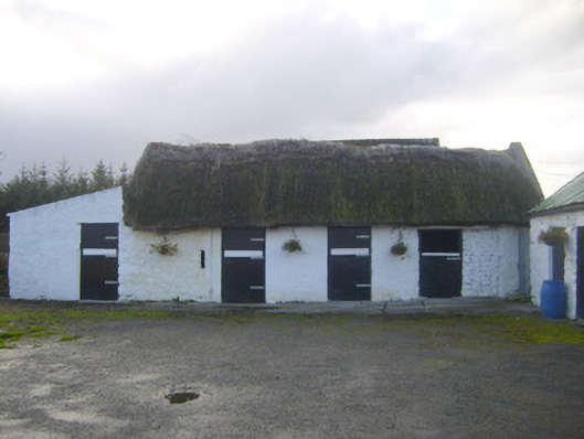 stablesstables · 964 yd
 Enclosure in Ballyengland LowerEnclosure · 1373 yd
 Killeen Ch (in ruins)Church · 1539 yd
 Dotted outlineChildren's burial ground · 1546 yd
 CastleCastle, tower house · 1.6 mi
 Curraghchase Forest ParkForest · 1.8 mi
 European YewEuropean Yew · 1.8 mi
 Stonehall Visitor FarmHeritage attraction · 2.0 mi
 Derreen Castle (in ruins)Castle, tower house · 2.6 mi
 KnocknagowerNamed rock · 3.9 mi
 Holly IslandIslet · 4.0 mi
 Greenish IslandIslet · 4.2 mi