
What is recorded here
Shown as a circular enclosure of Taylor's map of County Kildare (1783). No visible surface traces.
Date of upload: 8 September 2016
The monument record does not grant public access. Check the route and ask the landowner before entering private land.
- What survives
- Recorded monument
Places near here
 Tobernabreadan Well (Site of)Holy well · 346 yd
 Enclosure in Abbeyland (castledermot Ed)Enclosure · 537 yd
 ProclamationMemorial · 675 yd
 Doyle's Bridgebridge · 728 yd
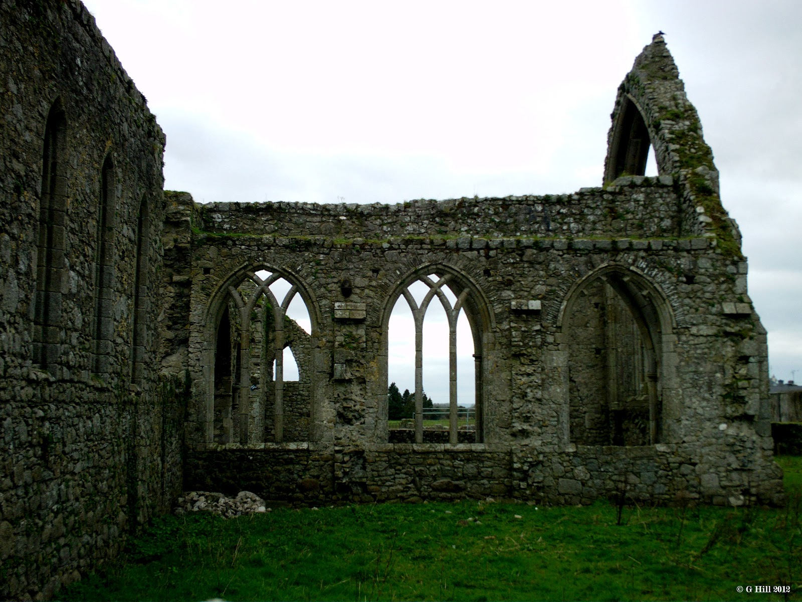
 Abbey (in Ruins)Religious house, Franciscan friars · 752 yd
 Franciscan FriaryHeritage attraction · 756 yd
 Castledermot Round TowerHeritage attraction · 1030 yd
 Gorteen MoundCastle, unclassified · 2.1 mi
 Lorcán Ó TuathailMemorial · 2.5 mi
 Mullaghreelan WoodForest · 2.7 mi
 OutlinedCastle, unclassified · 2.7 mi
 European YewEuropean Yew · 2.9 mi
Other information
Photo: Credit not shown in the picture search · Rights wording not checked; contact us if this picture should be removed