What is recorded here
In pasture, atop hill. Monument, depicted on 1923 OS 6-inch map as embanked ovoid enclosure (c. 50m N-S; c. 30m E-W) with wide opening along W side, has been levelled. No trace of monument evident when inspected.
Compiled by: Denis Power
Date of upload: 26 August 2011
The monument record does not grant public access. Check the route and ask the landowner before entering private land.
- What survives
- Recorded monument
Places near here
 CastleCastle, tower house · 474 yd
 Hollypark Housecountry house · 520 yd
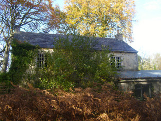 Dromlohan National Schoolschool · 857 yd
 Burial ground in DromlohanBurial ground · 945 yd
 Stonehall Visitor FarmHeritage attraction · 1067 yd
 European YewEuropean Yew · 1183 yd
 Dotted outlineChildren's burial ground · 1184 yd
 Curraghchase Forest ParkForest · 1677 yd
 Derreen Castle (in ruins)Castle, tower house · 1.1 mi
 Sweet ChestnutSweet Chestnut · 3.4 mi
 Ringmoylan PierVisitor information · 4.0 mi
 Mellon PointHeadland · 4.5 mi