What is recorded here
Enclosure in Cregmoher is a subcircular earthwork on a north-facing pasture shelf in County Clare, marked as a rath on 1840 and 1920 maps. By 1999 the boundary had faded into a dense thistle patch, yet the shape still emerged in aerial imagery as a low ridge. The land may have forgotten the wall, but the slope still holds the ghost of a made circle.
On a slight shelf on a N-facing slope in pasture. Hachured as a rath on the 1840 and 1920 OS 6-inch maps. On inspection in 1999 it was barely visible at ground level as a subcircular area (int. dims. 23.8m NE-SW; 24m NW-SE, ext. dims. 30.8m NE-SW; 30.3m NW-SE) with a dense growth of thistles. Visible as a low earthwork on Google Earth (imagery date: 16 January 2011) and on OSi MapGenie orthophotography (2013-2018).
Compiled by: Mary Tunney
Date of upload: 19 November 2025
The monument record does not grant public access. Check the route and ask the landowner before entering private land.
- What survives
- Recorded monument
Places near here
 Enclosure in CahercorcaunEnclosure · 539 yd
 Castle (in Ruins)Castle, tower house · 716 yd
 Bawn in CregmoherBawn · 759 yd
 LiscullaunEnclosure · 886 yd
 R.C. ChapelChurch · 901 yd
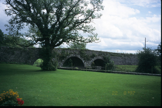 Corrofin Bridgebridge · 1.0 mi
 Rock IslandIsland · 1.6 mi
 Inchiquin IslandIslet · 1.6 mi
 Battle of TullyodeaBattlefield · 2.6 mi
 Ballygriffy WoodWood · 3.4 mi
 Fergus River CaveCave · 3.6 mi
 European ashEuropean ash · 3.8 mi