What is recorded here
Courtbane Fort lost its visible walls before modern cameras arrived, yet an underground passage still twists beneath the soil. That hidden tunnel suggests the enclosure did not disappear so much as withdraw from sight. People may have walked above a living maze of chambers, hearing water or breath return from the dark. The fort still holds its shape under Courtbane, waiting for someone to stop looking for walls and start listening for the passage.
The following description is derived from both the published 'Archaeological Inventory of County Louth' (Dublin: Stationery Office, 1986) and the 'Archaeological Survey of County Louth' (Dublin: Stationery Office, 1991). In certain instances the entries have been revised and updated in the light of recent research.
Date of upload/revision: 17 July 2007
Marked 'Courtbane Fort' on the 1835 ed. of OS 6-inch map. Now destroyed. Man-made underground passage (LH003-017002-) discovered at site.
This remains an important historical record, but the official description says the monument is no longer visible or has been destroyed. The monument record does not grant public access. Check the route and ask the landowner before entering private land.
- What survives
- No visible remains or recorded as destroyed
Places near here
 Man-made underground passage in CourtbaneMan-made underground passage · 1 yd
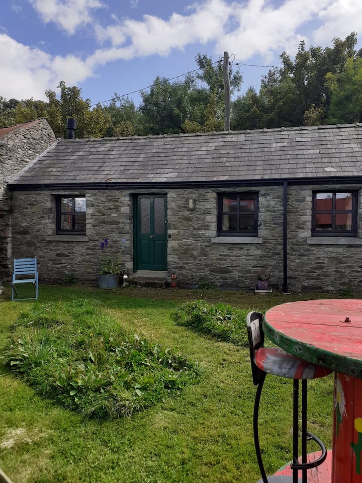 Enclosure in TawnamoreEnclosure · 1184 yd
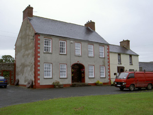 Clonaleenaghan Househouse · 1.5 mi
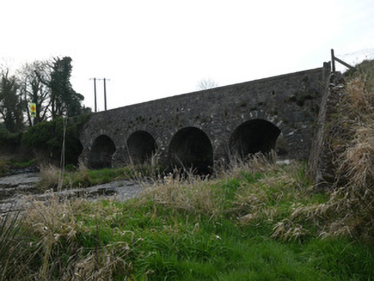 Magoney Bridgebridge · 2.3 mi
 Golf 30Fort · 2.4 mi
 CastleCastle, unclassified · 2.5 mi
 MEDIEVAL & POST-MED. CHURCH & GRAVEYARD in Creggan Bane GlebeMEDIEVAL & POST-MED. CHURCH & GRAVEYARD · 2.8 mi
 Battle of Newry Roadbattle · 3.0 mi
 Ballsmill Amenity LandPicnic place · 3.1 mi
 Sky HillMountain / peak · 3.6 mi
 Irish Hunger StrikersMemorial · 3.9 mi
 KnockreaghMountain / peak · 4.7 mi