What is recorded here
In rough pasture, on bog, on a W-facing slope, on the E side of the valley of the Barony River. Recorded in 1992 as a circular area (diam. 12m) defined by the remains of a stone wall (T 1m; H 0.8m) consisting of an inner and an outer row of upright stone slabs with an entrance (Wth 1m) at E (pers. comm. Connie Murphy). On a subsequent visit in 2005 the enclosure was inaccessible due to dense undergrowth in the coniferous forest in which it is now located.
The above description is derived from 'The Archaeological Inventory of County Cork. Volume 5' (Dublin: Stationery Office, 2009).
Date of upload: 22 December 2009
The monument record does not grant public access. Check the route and ask the landowner before entering private land.
- What survives
- Recorded monument
Places near here
 Field boundary in CoumaclavligField boundary · 93 yd
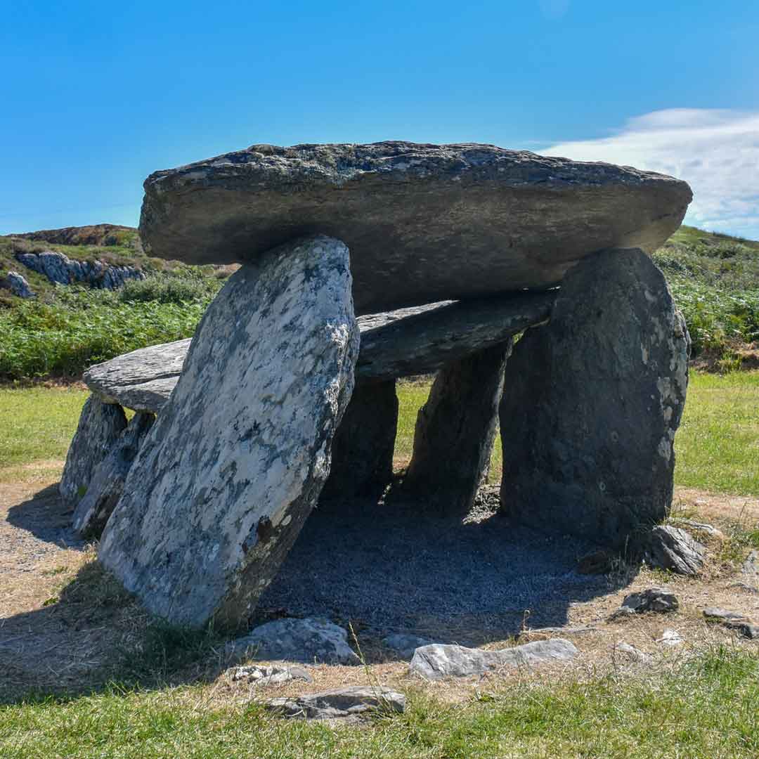 Wedge tomb in CoumaclavligWedge tomb · 114 yd
 An Cab DubhMountain / peak · 1.5 mi
 The Priest's LeapMountain / peak · 1.6 mi
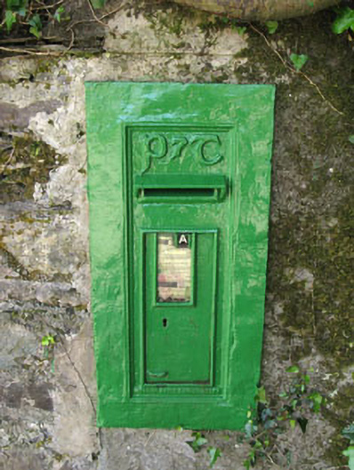 post boxpost box · 1.9 mi
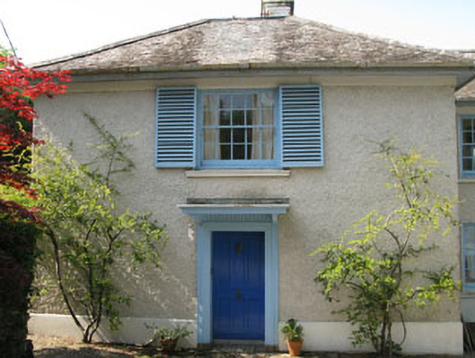 Toad Hallhouse · 2.0 mi
 The Priests LeapViewpoint · 2.0 mi
 Tasmanian bluegumTasmanian bluegum · 2.1 mi
 Calf IslandIslet · 2.1 mi
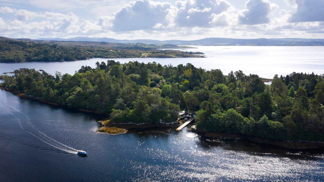 Garranboy IslandIslet · 2.2 mi
 Coomhola Salmon Trust (Streamscapes)Museum · 2.4 mi
 The Blue PoolHeritage attraction · 2.5 mi