What is recorded here
In rough pastureland. This roughly sub-trapezoidal enclosure (c. 21.8m NNW-SSE; c. 21.2m ENE-WSW) is visible on current aerial imagery (OSi MapGenie Imagery 2013-2018). A number of walls and smaller plots extending off it to the N and S may be associated.
Compiled by: Olive Alcock
Date of upload: 6 January 2023
The monument record does not grant public access. Check the route and ask the landowner before entering private land.
- What survives
- Recorded monument
Places near here
 Tober PatrickHoly well · 998 yd
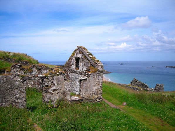 Settlement desertedSettlement deserted, medieval · 1019 yd
 CashlaundarraghCastle · 1750 yd
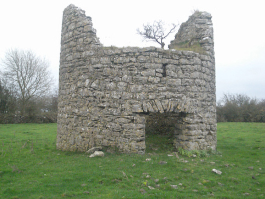 mill (wind)mill (wind) · 1.2 mi
 Castle FrenchCastle, unclassified · 1.3 mi
 R. C. ChapelChurch · 1.5 mi
 SycamoreSycamore · 1.6 mi
 Common WhitebeamCommon Whitebeam · 1.6 mi
 Knockmoy AbbeyHeritage attraction · 2.7 mi
 Menlough IRAMemorial · 7.1 mi
 Mass RockNamed rock · 12 mi
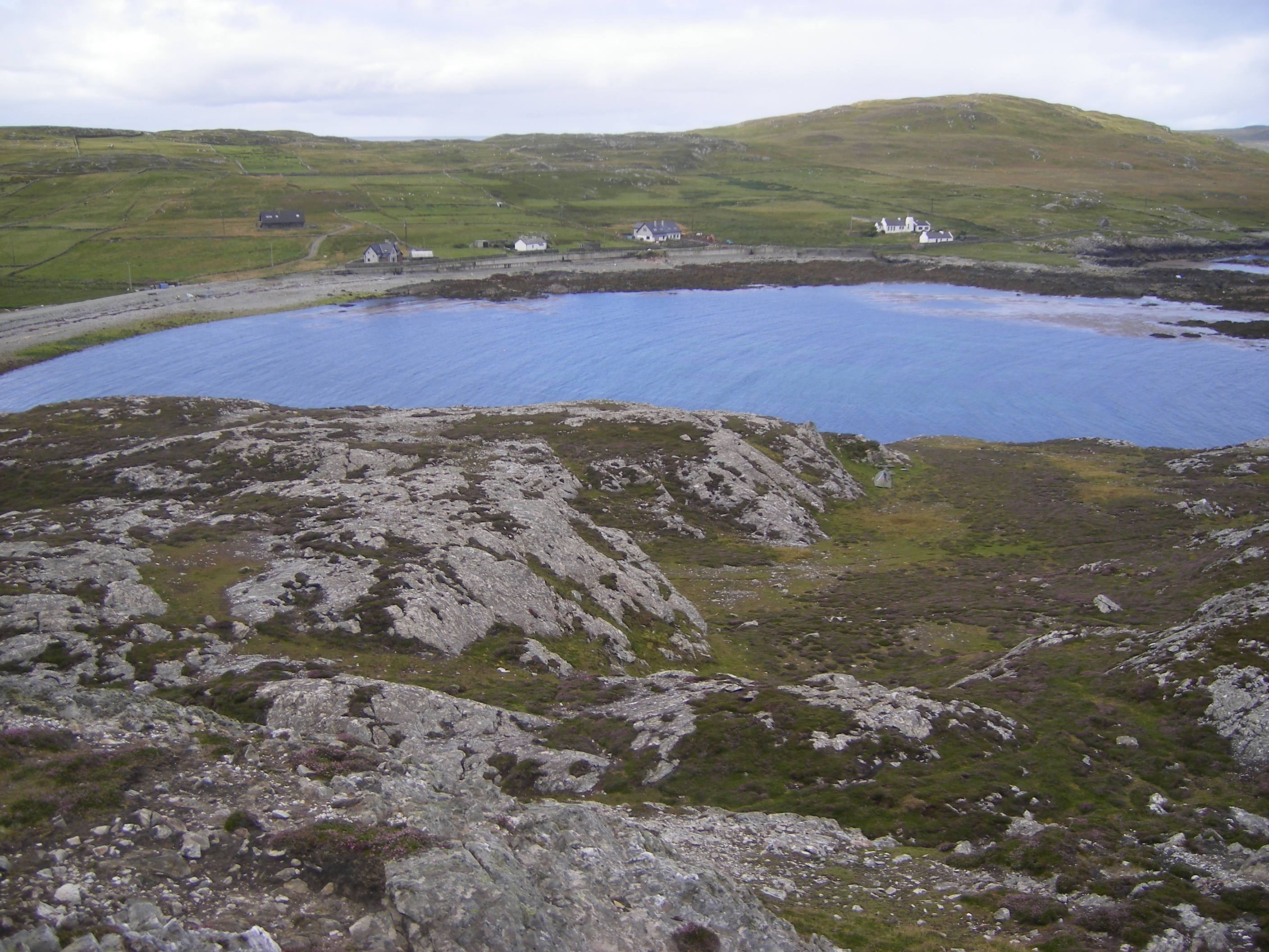 IndicatedFairy fort / ringfort · 1109 yd