What is recorded here
On a SSE-facing slope in rough pasture. Depicted as a tree-ring on the 1837 ed. of the OS 6-inch map. A raised circular area (diam. 24m) enclosed from SE-S-WNW by a low bank of earth and stone (H 0.2-0.7m). From WNW-NNW-N it is occupied by a farm building. From N-NNE-NE the bank has been levelled but its outline is still identifiable. From NE-E-SE it is defined by a low scarp (H 0.5m) with a field drain at its foot and a field bank immediately beyond this. The original entrance is not recognisable. The interior is used as a paddock.
Compiled by: Patrick F. O'Donovan
Date of upload: 26 August 2011
The monument record does not grant public access. Check the route and ask the landowner before entering private land.
- What survives
- Recorded monument
Places near here
 CairnCairn, unclassified · 876 yd
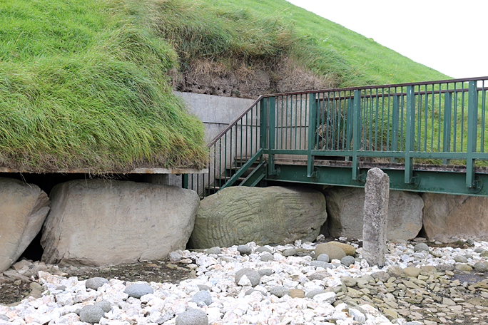 Passage tomb in Dooroc,corneddanPassage tomb · 878 yd
 Esker SchoolRuins · 1.3 mi
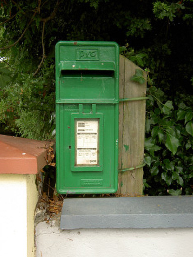 post boxpost box · 1.7 mi
 Bawn in CurrycahillBawn · 2.6 mi
 CastleCastle, unclassified · 2.7 mi
 Bully's Acregraveyard/cemetery, unknown · 2.7 mi
 Ballinalee Forest WalkForest · 3.1 mi
 Ballinamuck Bog LoopWalking route · 4.3 mi
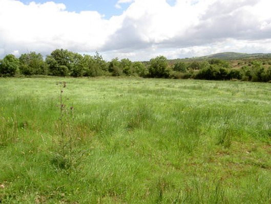 battlefieldbattlefield · 4.5 mi
 Native Woodland Trust: Farnaght ReserveWood · 4.8 mi
 Granard MotteMotte-and-bailey castle remains · 8.8 mi