
What is recorded here
On break in N-facing slope of Shehy mountains; commanding view to N and E. Circular area (diam. 18m N-S; 16m E-W) enclosed by ruinous stone wall best preserved to W (int.H 0.95m; ext. H 0.5m; Wth 1.80m); partially revetted inside and outside with upright slabs. Entrance to SE (Wth 1m) marked by two upright stones (H c. 0.65m). Interior overgrown; to W, dense scatter of stones, possibly indicates internal structure.
The above description is derived from the published 'Archaeological Inventory of County Cork. Volume 1: West Cork' (Dublin: Stationery Office, 1992). In certain instances the entries have been revised and updated in the light of recent research.
Date of upload/revision: 14 January 2009
A local fairy fort (ringfort/rath); wider significance not recorded.
The monument record does not grant public access. Check the route and ask the landowner before entering private land.
- What survives
- Recorded monument
Places near here
 Burnt spread in CoolmountainBurnt spread · 467 yd
 Kill BurGd (Childrens) (Disused)Burial ground · 990 yd
 Coolmountain Schoolschool · 1663 yd
 Shehy MoreMountain / peak · 1.2 mi
 CarriganineMountain / peak · 1.3 mi
 Gortnahoughtee Mass RockNamed rock · 1.9 mi
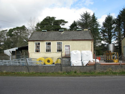 Togher Creamerycreamery · 2.3 mi
 Togher CastleCastle, tower house · 2.6 mi
 Funmanway Adventure LandHeritage attraction · 4.8 mi
 Carrignacurra CastleCastle · 5.6 mi
 St Finbarr's Pilgrim RouteWalking route · 5.7 mi
 Gougane BarraValley and heritage place · 5.8 mi
Other information
Photo: Credit not shown in the picture search · Rights wording not checked; contact us if this picture should be removed