
What is recorded here
In pasture, with limestone outcrops, c. 600m E of circular enclosure (CO087-095---). Aerial photograph (Dr. D.D.C. Pochin Mould) shows possible small circular enclosure defined by low bank with narrow external and internal fosses N->ESE; slight fosse S->N. A second arc swinging round from just outside enclosure to SW to join line of enclosure to N may be natural terracing in face outcrop. Further to W, upslope, a further arc concentric to small enclosure consists of a low bank with narrow fosses internally and externally; traceable running from outcrop SSW->W; may continue in fragmentary form as far as field fence to N. S of this again; low bank with double curves runs app. SeNW; further short fragments of low bank to W and SW of enclosure seem to indicate small and unregular fields. On ground, very difficult to discern any adherent pattern; 'enclosure' in pronounced hollow; enclosing element resembles drains.
The above description is derived from the published 'Archaeological Inventory of County Cork. Volume 2: East and South Cork' (Dublin: Stationery Office, 1994). In certain instances the entries have been revised and updated in the light of recent research.
Date of upload/revision: 14 January 2009
The monument record does not grant public access. Check the route and ask the landowner before entering private land.
- What survives
- Recorded monument
Places near here
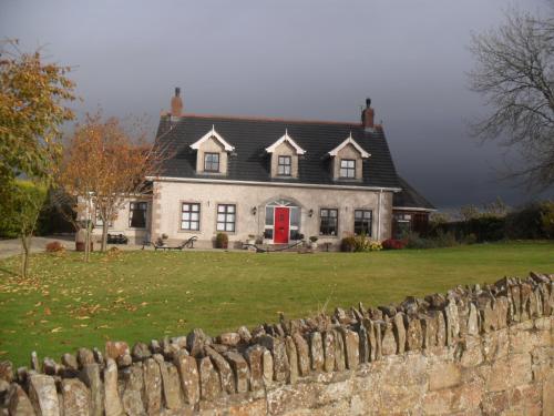 Man-made underground passage in Coolmore (kerrycurrihy By.)Man-made underground passage · 526 yd
 IndicatedHouse, vernacular house · 818 yd
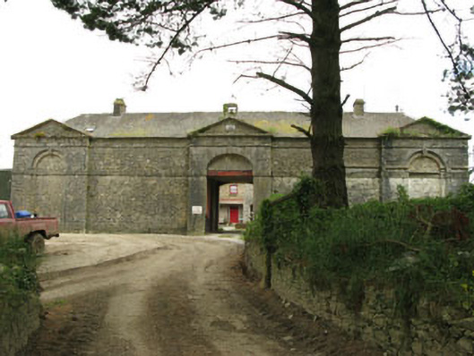 Coolmore Housefarmyard complex · 859 yd
 Icehouse in Coolmore (kerrycurrihy By.)Icehouse · 984 yd
 Castle (in Ruins)Castle, tower house · 1062 yd
 Loughbeg Bird ReserveNature reserve · 1123 yd
 Coolmore WoodWood · 1484 yd
 William Warren Baldwin plaqueMemorial · 1.4 mi
 The Giant's GraveMonument · 1.6 mi
 Cogan's CastleCastle · 1.6 mi
 Cork Red Marble SeamNamed rock · 1.9 mi
 Crosshaven Tourist OfficeVisitor information · 1.9 mi
Other information
Photo: Credit not shown in the picture search · Rights wording not checked; contact us if this picture should be removed