
What is recorded here
Situated on a gentle S-facing slope. The cropmark of a circular area (int. diam. c. 32m N-S; c. 30m E-W) defined by a wide continuous negative feature indicative of a fosse or moat (Wth c. 3-6m) is visible on Google Earth (18/07/2021). It is within the cropmark of a rectangular enclosure (dims c. 60m NW-SE; c. 55m NE-SW) defined by fosses or ditches (Wth c. 2-6m). It is also visible on OSI images (2000, 2005), and it was first reported by Jean Charles Caillére.
See the attached enhanced view from Google Earth (18/07/2021)
Compiled by: Michael Moore
Date of upload: 4 January 2022
A local fairy fort (ringfort/rath); wider significance not recorded.
The monument record does not grant public access. Check the route and ask the landowner before entering private land.
- What survives
- Recorded monument
Places near here
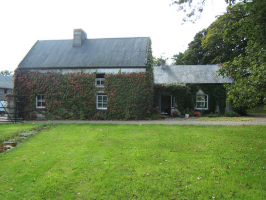 Blastknock Cottagefarm house · 966 yd
 Field system in TaghmonField system · 1423 yd
 Habitation site in TaghmonHabitation site · 1543 yd
 Bank Housebank/financial institution · 1549 yd
 Taghmon CastleCastle · 1703 yd
 Site of CastleCastle, unclassified · 1.3 mi
 Coolcliffe HouseRuins · 3.0 mi
 Carrickatinna RockMountain / peak · 3.7 mi
 Skeater RockMountain / peak · 4.0 mi
 Battle Of The Three RocksMemorial · 5.0 mi
 Carrig-On-BannowVisitor information · 5.8 mi
 1798 MemorialMemorial · 5.8 mi
Other information
Photo: Credit not shown in the picture search · Rights wording not checked; contact us if this picture should be removed