What is recorded here
The following description is derived from the published 'Archaeological Inventory of County Carlow' (Dublin: Stationery Office, 1993). In certain instances the entries have been revised and updated in the light of recent research.
Date of upload/revision: 17 July 2007
Shown on 1839 'OS 6-inch' map as rectangular enclosure, and on 1908 ed. as irregular subcircular enclosure defined by field boundaries. Present remains consist of stone-faced bank at W and stone-faced scarp (H c. 1.2m) at N, E and S with low bank (H 0.5m) on periphery (int. dims. c 44m N-S, c 56m E-W). 1839 depiction may be inaccurate, or present structure may incorporate parts of former rectangular enclosure.
The monument record does not grant public access. Check the route and ask the landowner before entering private land.
- What survives
- Recorded monument
Places near here
 SlievebawnMountain / peak · 1651 yd
 Rathnageeragh Castle (in ruins)Castle, unclassified · 1.1 mi
 Enclosure in KnockendraneEnclosure · 1.4 mi
 Enclosure in RaheenlieghEnclosure · 1.5 mi
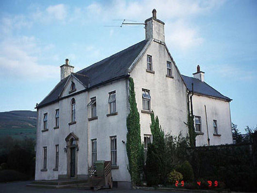 Hollybrook Househouse · 1.5 mi
 CroaghaunMountain / peak · 1.6 mi
 Saint Laserian's Catholic Churchchurch/chapel · 1.8 mi
 SycamoreSycamore · 2.3 mi
 Irish Hangliding and Paragliding AssociationMemorial · 2.4 mi
 Monkey-puzzleMonkey-puzzle · 2.4 mi
 Mount LeinsterMountain · 2.5 mi
 St Bridget's WellSpring · 2.6 mi